High winds and precipitation continues sweep across Newfoundland and Labrador Thursday

Ryan Harding, NTV Weather Centre
Rain continues and increased wind returns across Newfoundland through to Thursday evening
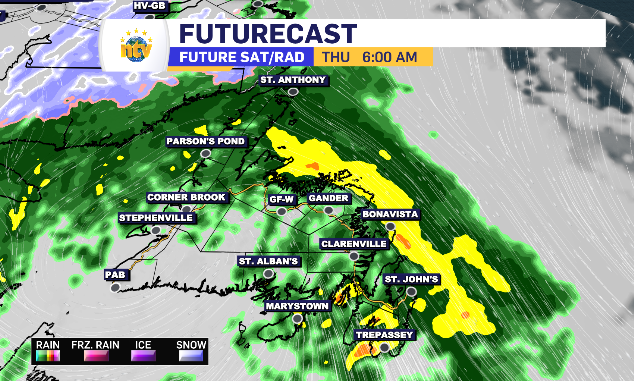
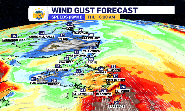
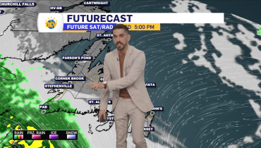
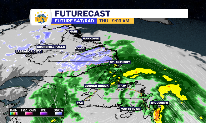
It’s a rainy, windy start to the day for the eastern side of the island, with some of the heaviest rain and strongest wind passing through first thing Thursday.
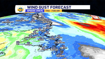
While a wind warning is in place for the northern portion of the Avalon Peninsula and into the Bonavista Peninsula, some of the top gusts are likely to be found on the southeast side of the Avalon.
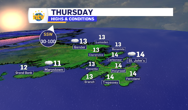
The wind for the region ranges from 60-100 km/h with the triple digits mostly likely to appear along the coastline.
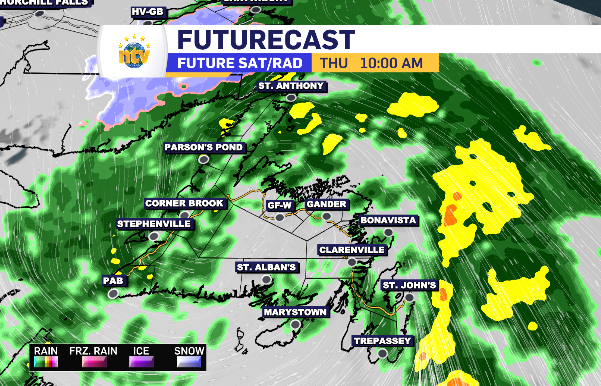
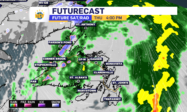
It’s all a part of the low-pressure system that began it’s path through Newfoundland and Labrador Wednesday evening.
In all, 20-40 mm of rain is expected for most by end of day Thursday.
The rain does linger more consistentaly Thursday afternoon and evening on the West Coast, while passing over most other regions as on-again, off-again rain with cloud in between.
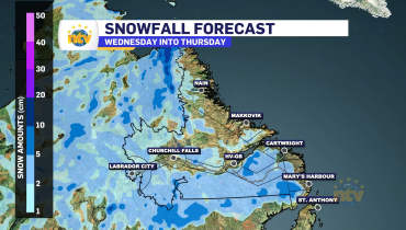
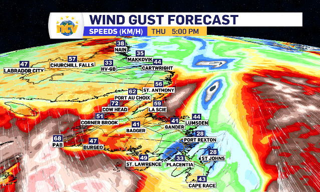
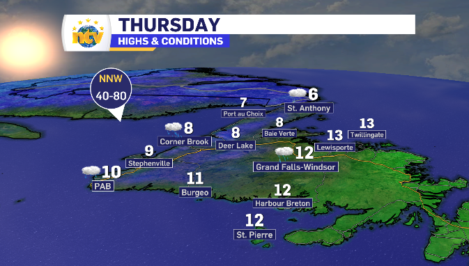
The increased wind returns on the backend of the system, this time however, as a north and northwest wind, cooling temperatures enough in higher terrain areas to see potential wet snow.
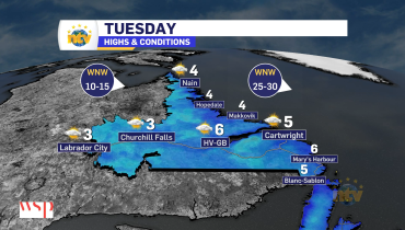
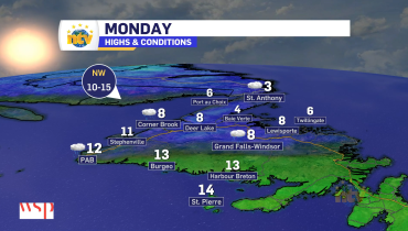
Newfoundland and Labrador daytime highs for Thursday
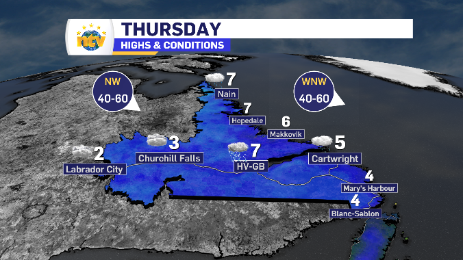
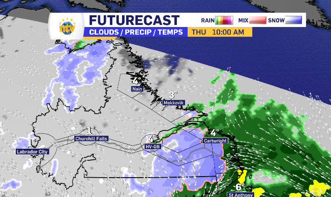
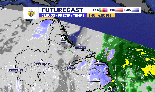
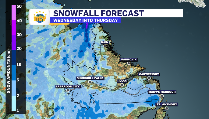
Messy mix leaves Labrador by end of day Thursday
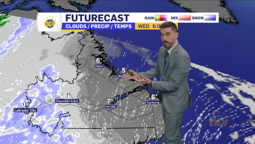
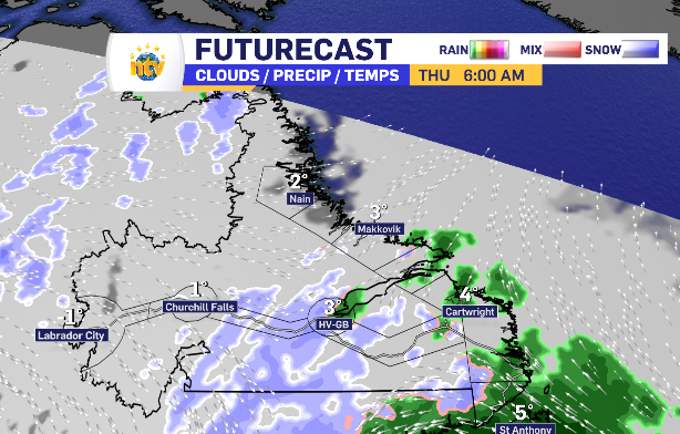
By Thursday morning, aside from some potential flurries in Labrador West, the precipitation has settled in on the South Coast.
Up against a wind shifting east, that precipitation stalls adding totals in both rain and snow.
The snow looks to build off of the coastline, while coastal communities should anticipate a range of 10-15 mm by end of day.
Related Articles