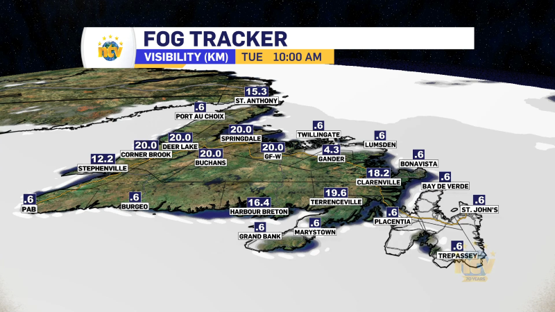
Snow squalls are going to be the big weather maker today across the Island. A snow squall is a narrow area of intense snowfall accompanied by strong, gusty winds. It often leads to reduced visibility and rapidly changing weather conditions, creating hazardous driving conditions. Snow squalls typically last for a short duration but can cause sudden and significant snow accumulations, particularly if they remain over one area for a prolonged period. And this will be what happens today.
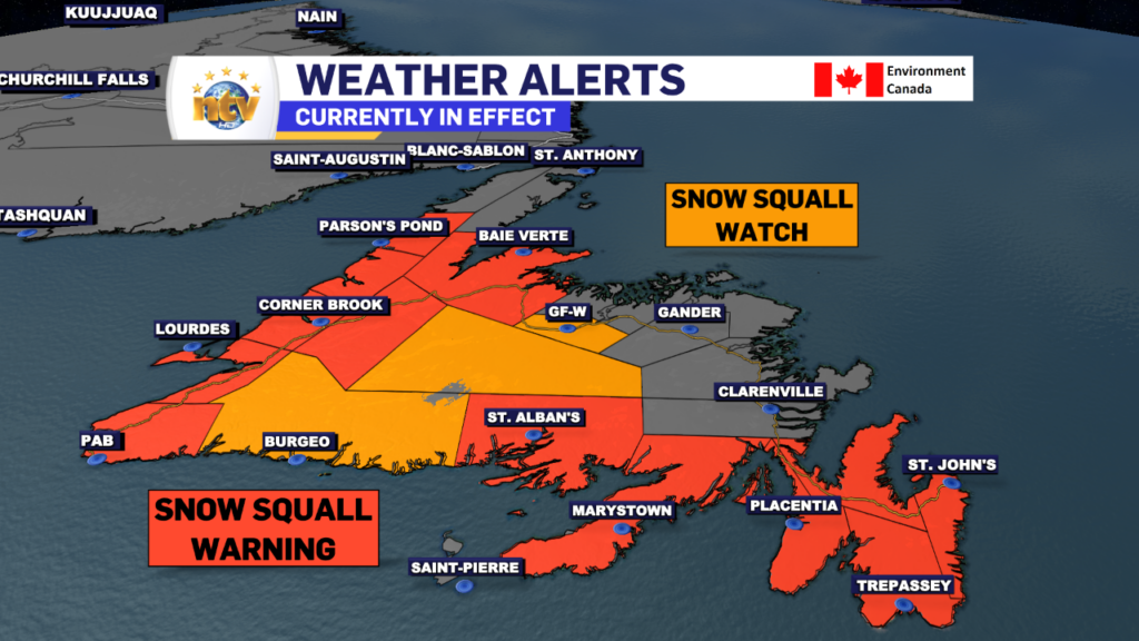
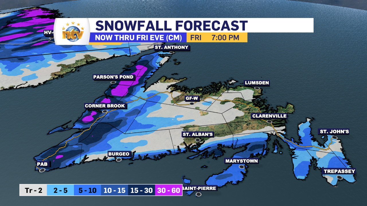
The atmospheric setup will lead to long (in distance) snow squalls that will not move back and forth very much. This means that areas under the squalls will see heavy snowfall, and areas just outside of the narrow bands will see much less or none at all. Regions of the West Coast, South Coast, Burin and Avalon Peninsulas will see these squalls today. Some inland locations of Central may see them as well. Snow Squall Warnings and watches are up for most of the Island.
While total snowfall from events like this is hard to predict, areas of the West Coast, particularly in the higher terrain, will see over 50 cm in the next 24+ hours. Other areas of the South Coast, Burin, and Avalon Peninsulas will see snowfall amounts as high as 30 cm or more in some areas.
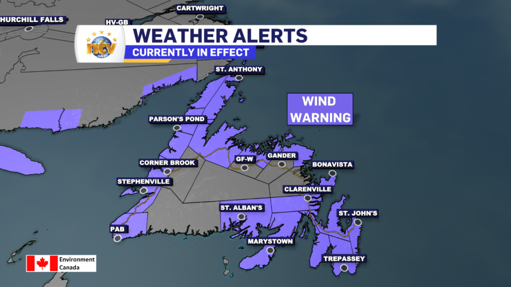
Wind speeds will also ramp up over parts of the Big Land and Newfoundland on Thursday and stay elevated through Friday. I expect widespread gusts of 80 km/h, with some areas seeing winds gusting to 100 km/h. Wind Warnings are now in effect for most of the Island.
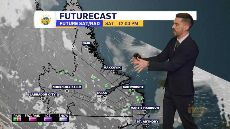
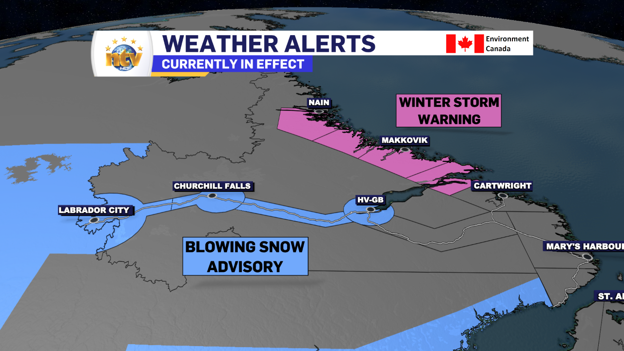
Meanwhile, winter storm conditions will rage on much of Labrador today and tomorrow. Winter Storm Warnings remain in effect for the mid and north coast and a Blowing Snow Advisory is in effect for western areas. Falling snow and high winds will create blizzard conditions over wide areas today and tomorrow. Additional snowfall will be significant along the coast.
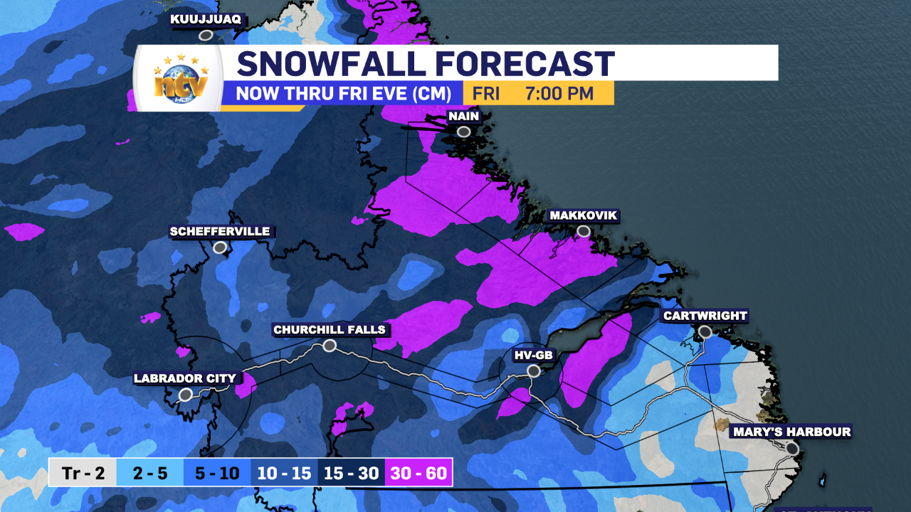
Snowfall in Labrador will be the most significant along the coast, and lesser amounts will fall in the west over the 24 to 36 hours. That being said, the high wind speeds (gusts to 70+ km/h) across the region will make for areas of blowing and drifting snow, and travel will be challenging due to the falling snow and blowing snow.
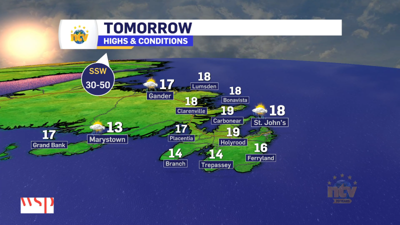
Temperatures today will peak in the minus single digits on the Island and the coast of Labrador and minus teens in Labrador West. Wind chills will be significantly lower, so bundle up if and when you head out.
I’ll have further updates for you later today.
Eddie