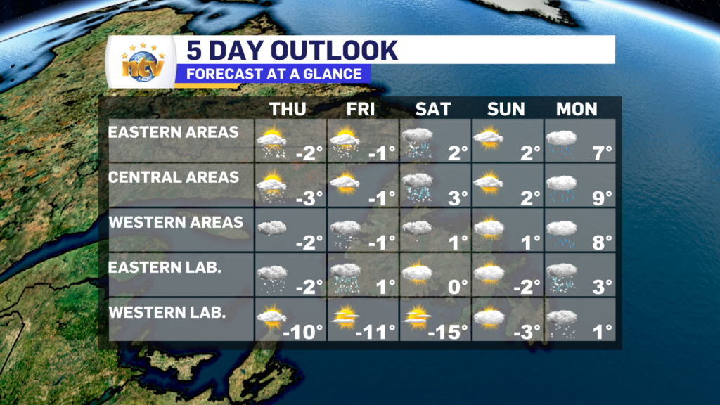

Wednesday Night’s Forecast
For the most part, we are looking at quiet weather across the Province tonight. On the Island, expect partly to mostly cloudy skies with scattered flurries. The exception will be the top of the Northern Peninsula, where some light snow will fall. Lows near -10°C for most areas, except closer to -5°C on the GNP.
Labrador will see partly to mostly cloudy skies for most areas, except in the north, where some flurries will fly. Lows will be in the minus single digits on the coast and minus teens in the west.

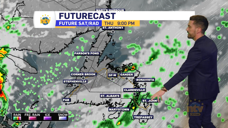
Thursday’s Forecast
Scattered flurries over the Island will be more numerous to almost constant on the West Coast. Accumulations outside of the higher terrain should be relatively insignificant. Highs will be a few ticks below the freezing mark for most.
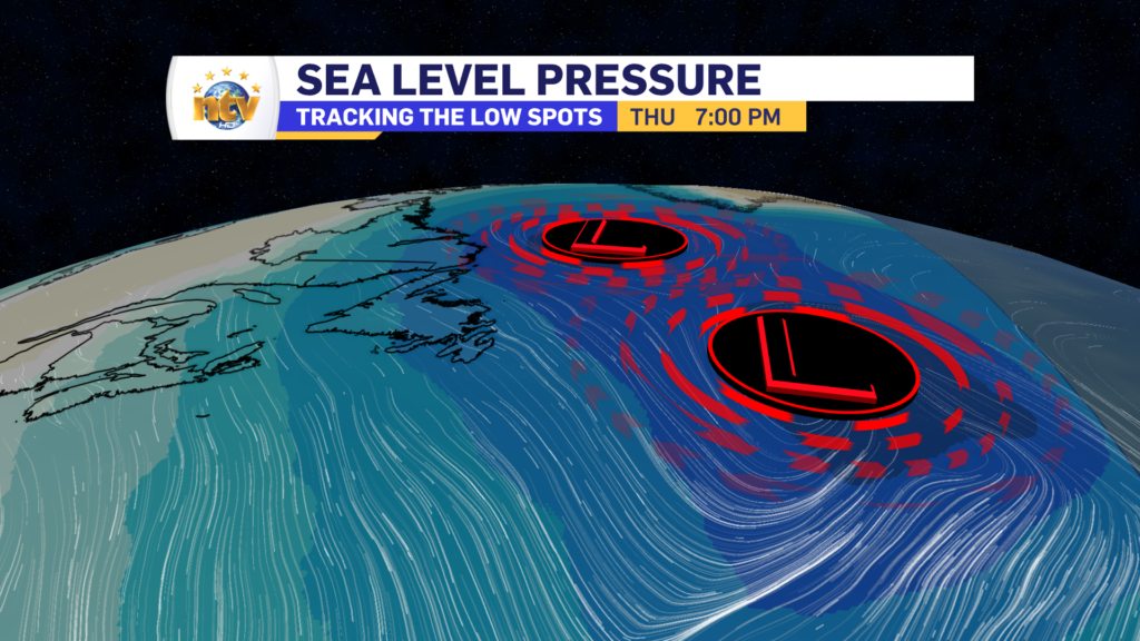
Labrador will see quiet and sunny weather in the west. On the coast, the day will start dry, but an area of low pressure will retrograde (move east to west) and will send snow into coastal regions by late afternoon or early evening. Snow will become heavy at times for much of the coast north of Cartwright and South of Nain. A Winter Storm Warning is currently in effect for the area.
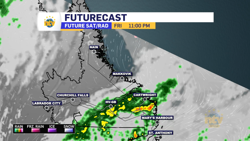
Friday’s Forecast
Snow continues on the Labrador Coast, but as warmer air moves in some areas, we will see that snow mix with or change to rain as temperatures warm to near freezing. In fact, the southern part of Labrador’s coast (Norman Bay to Lodge Bay area) will likely see rain on Friday. Highs range from near 0 on the coast to -10 inland.
Meanwhile, on the West Coast of Newfoundland, onshore snow will be enhanced and locally heavy, particularly in the higher terrain. East of there, expect a few snow flurries under partly to mostly cloudy skies. It will also be breezy. Highs near 0.

Saturday’s Forecast
Snow flurries and/or rain showers will be found over Central and eastern Newfoundland while the onshore flurries end on the West Coast and the snow and rain finally taper off in coastal Labrador. Highs will be near, or above freezing by a bit, on the Island. The Labrador Coast will see highs near 0 while the west will be into the minus teens.
Sunday’s Forecast
QUiet across the Province, with highs near freezing on the Island in coastal Labrador. Labrador West will again be in the minus teens.
Monday’s Forecast (Next system): An area of low pressure looks to track through Labrador, and it will be a vigorous one. This appears like it will bring a warm up to the Island, along with heavy rain. While Labrador will see a mix of rain in the south and snow in the north and west. There will also be some wind in this system. Stay tuned for further details!