Post 5 – 4:06 PM (3:36 PM AST)
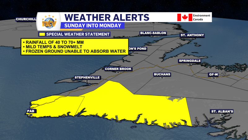
The ECCC NL Weather Office in Gander has issued a Special Weather Statement for Sunday for parts of the South and Southwest Coast. The potential exists for heavy rain and rapidly melting snowfall from mild temperatures. High wind speeds are also possible.
Post 4 – 3:22 PM NST (2:52 PM AST)
Radar imagery shows some snow over the Avalon and an area of light snow offshore from the low spinning to the east of the Avalon Peninsula. Find the latest radar imagery yourself in the NTV Weather Centre!
Post 3 – 12:43 PM NST (12:13 PM AST)
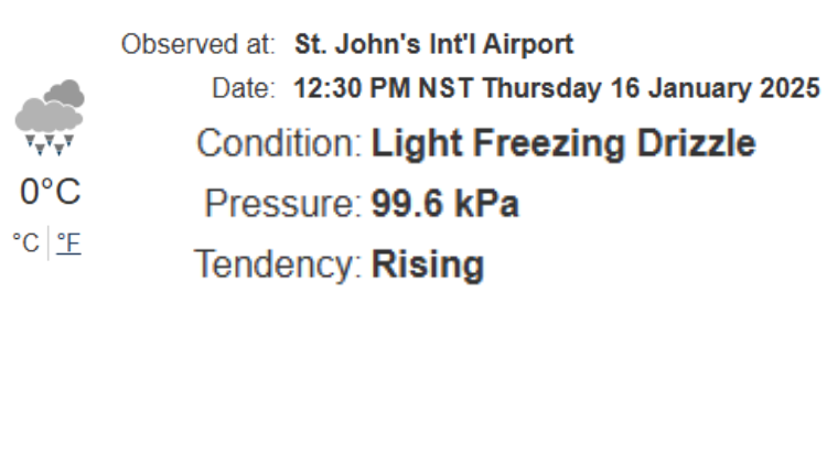
St. John’s International Airport reports light freezing drizzle as of 12:30 PM. While some precipitation is around and it is cold enough for snow, there is not enough vertical velocity (lift) in the atmosphere to generate snowflakes. If that heavier band of snow (mentioned below) moves in, it will change back to snow later this afternoon.
Post 2 – 8:22 AM NST (7:52 AM AST)
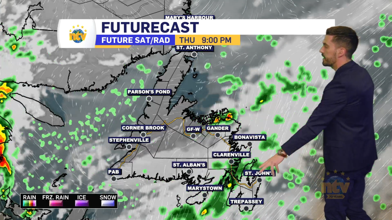
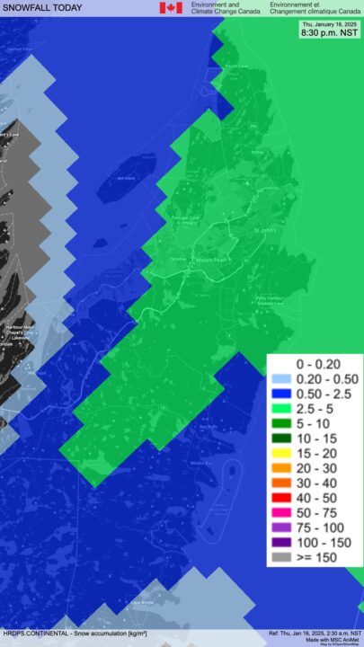
High-resolution guidance suggests there is a high chance the eastern Avalon will see some light snowfall this afternoon. The potential exists for 1 to 3 cm of snowfall… but this is also contingent upon a snowfall band moving from north to south from the offshore low. Something I’ll be keeping an eye on through the day.
Post 1 – 6:21 AM NST (5:51 AM AST)
Good morning!
There is a chance that parts of the Avalon, including the St. John’s Metro, will see light snow this afternoon from an area of low pressure lurking offshore. There is uncertainty in the position of this low, which is why there is a chance of seeing the snow, and not a certainty at this point.

If it does snow, amounts will be less than 5 cm. I’ll be watching the satellite and radar closely throughout the day.
Outside of that, there will be flurries and light snow through central, interior, and parts of western Newfoundland today. Locally, snowfall will be 5 cm, but most areas will not see applicable amounts.
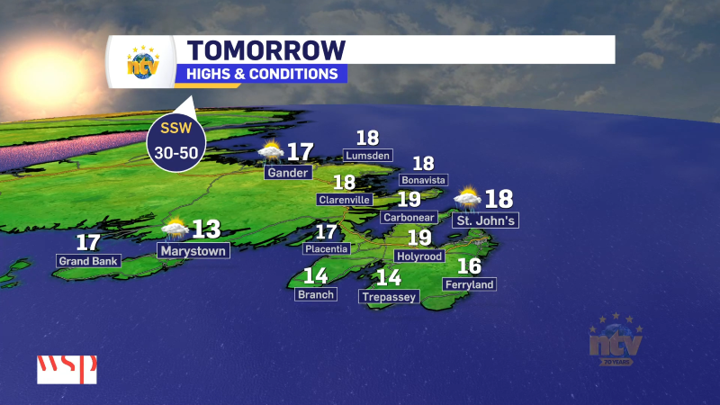
Highs today climb to near 0 on the Island and remain below freezing in the Big Land. Today will also be a bit more windy over the eastern sections of the Island, resulting in wind chills nearer to -10.
Have a great Thursday!