


Heavy snow shuts down schools, busses and other operations for the day
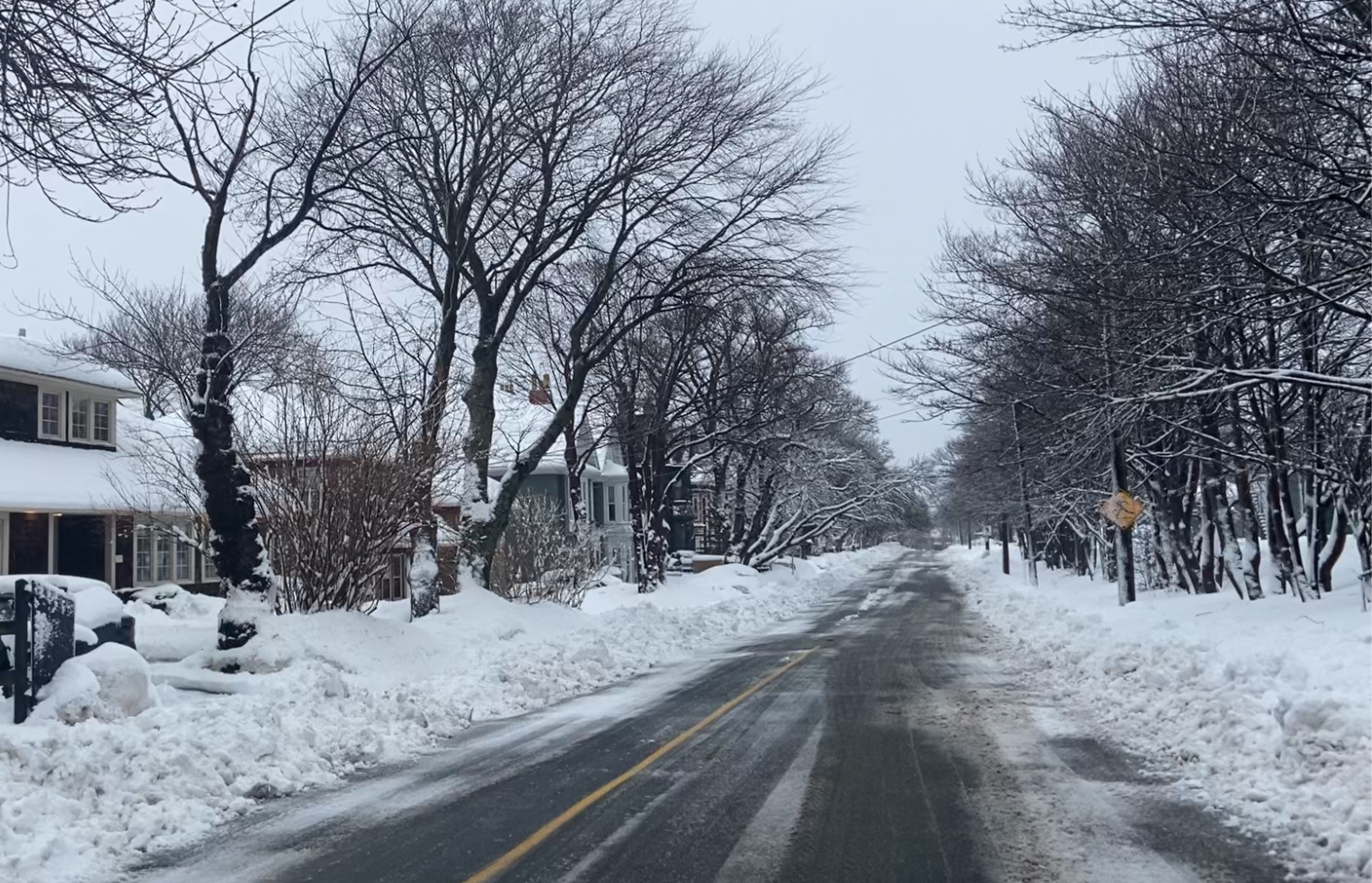
Government offices, schools and businesses are closed today, as heavy snow hits much of the Island. In St. John’s, Metrobus has announced they will not be operating today because of current and forecast weather conditions. Memorial University is closed for the morning for all faculty staff and students, with an announcement coming at 11 a.m.
Meanwhile, thousands of Newfoundland Power customers are without power this morning due to severe weather conditions. Outages are being reported along the Southern Shore, and in the centre of St. John’s.
ST. JOHN’S/BONAVISTA
Today: Snow at times heavy and blowing snow. Amount 10 to 20 cm except locally 5 cm along the southern shore. Wind north 50 km/h gusting to 80 except gusting to 100 along exposed areas of the coast. Temperature steady near zero.
Tonight: Snow at times heavy and blowing snow. Amount 10 to 20 cm except 5 cm along parts of the coast. Wind northwest 50 km/h gusting to 80 except gusting to 100 along exposed areas of the coast early this evening. Temperature steady near minus 1. Wind chill near minus 10.
Thursday: Periods of snow with risk of freezing drizzle. Amount 2 cm except locally 5 cm inland and over higher terrain. Wind northwest 40 km/h gusting to 60. Temperature steady near minus 1. Wind chill near minus 9.
SOUTH COAST
Today: Mainly sunny. Wind north 30 km/h gusting to 50 becoming northwest 20 gusting to 40 near noon. High zero. Wind chill minus 13 this morning. UV index 1 or low.
Tonight: Increasing cloudiness. 40 percent chance of flurries overnight. Wind northwest 20 km/h gusting to 40. Low minus 2. Wind chill near minus 8.
Thursday: Mainly cloudy. Wind northwest 20 km/h gusting to 40. High zero. Wind chill minus 8 in the morning. UV index 1 or low.
CENTRAL
Today: Periods of freezing drizzle changing to snow this morning. Blowing snow over exposed areas late this morning and this afternoon. Snowfall amount 5 to 10 cm. Wind north 30 km/h gusting to 50. High minus 1. Wind chill near minus 10.
Tonight: Snow. Blowing snow over exposed areas. Amount 10 cm. Wind northwest 30 km/h gusting to 50. Temperature steady near minus 2. Wind chill near minus 9.
Thursday: Cloudy with 60 percent chance of flurries or freezing drizzle. Wind northwest 20 km/h gusting to 40. Temperature steady near minus 1. Wind chill near minus 10. UV index 1 or low.
WEST COAST
Today: A mix of sun and cloud. Becoming cloudy this afternoon. Wind becoming northeast 20 km/h this morning then becoming north 20 gusting to 40. High minus 1. Wind chill minus 13 this morning and minus 7 this afternoon. UV index 1 or low.
Tonight: Cloudy with 60 percent chance of flurries. Wind north 20 km/h gusting to 40. Low minus 4. Wind chill near minus 10.
Thursday: Mainly cloudy. Wind north 20 km/h gusting to 40 becoming northwest 20 in the afternoon. High minus 2. Wind chill near minus 10. UV index 1 or low.
NORTHERN PENINSULA
Today: Mainly cloudy. Periods of snow beginning this afternoon. Fog patches dissipating this morning. Wind becoming north 20 km/h gusting to 40 then increasing to 40 gusting to 60 near noon. High minus 1. Wind chill near minus 11. UV index 1 or low.
Tonight: Periods of snow ending this evening then cloudy with 40 percent chance of flurries. Becoming partly cloudy before morning. Risk of freezing drizzle late this evening and overnight. Wind north 40 km/h gusting to 60. Low minus 3. Wind chill near minus 11.
Thursday: A mix of sun and cloud. Wind northwest 30 km/h gusting to 50. Temperature steady near minus 2. Wind chill near minus 11. UV index 1 or low.
HAPPY VALLEY/GOOSE BAY
Today: Snow and blowing snow. Amount 10 to 15 cm. Wind north 40 km/h gusting to 60. High minus 1. Wind chill near minus 11.
Tonight: Snow and blowing snow. Amount 10 to 15 cm. Wind northwest 40 km/h gusting to 60. Temperature steady near minus 2. Wind chill near minus 10.
Thursday: Flurries or periods of freezing drizzle. Local snowfall amount 2 cm. Wind northwest 30 km/h gusting to 50. Temperature steady near minus 2. Wind chill near minus 11. UV index 1 or low.