


Avalon Peninsula wakes up to another significant Sunday snowfall; more snow on the west coast
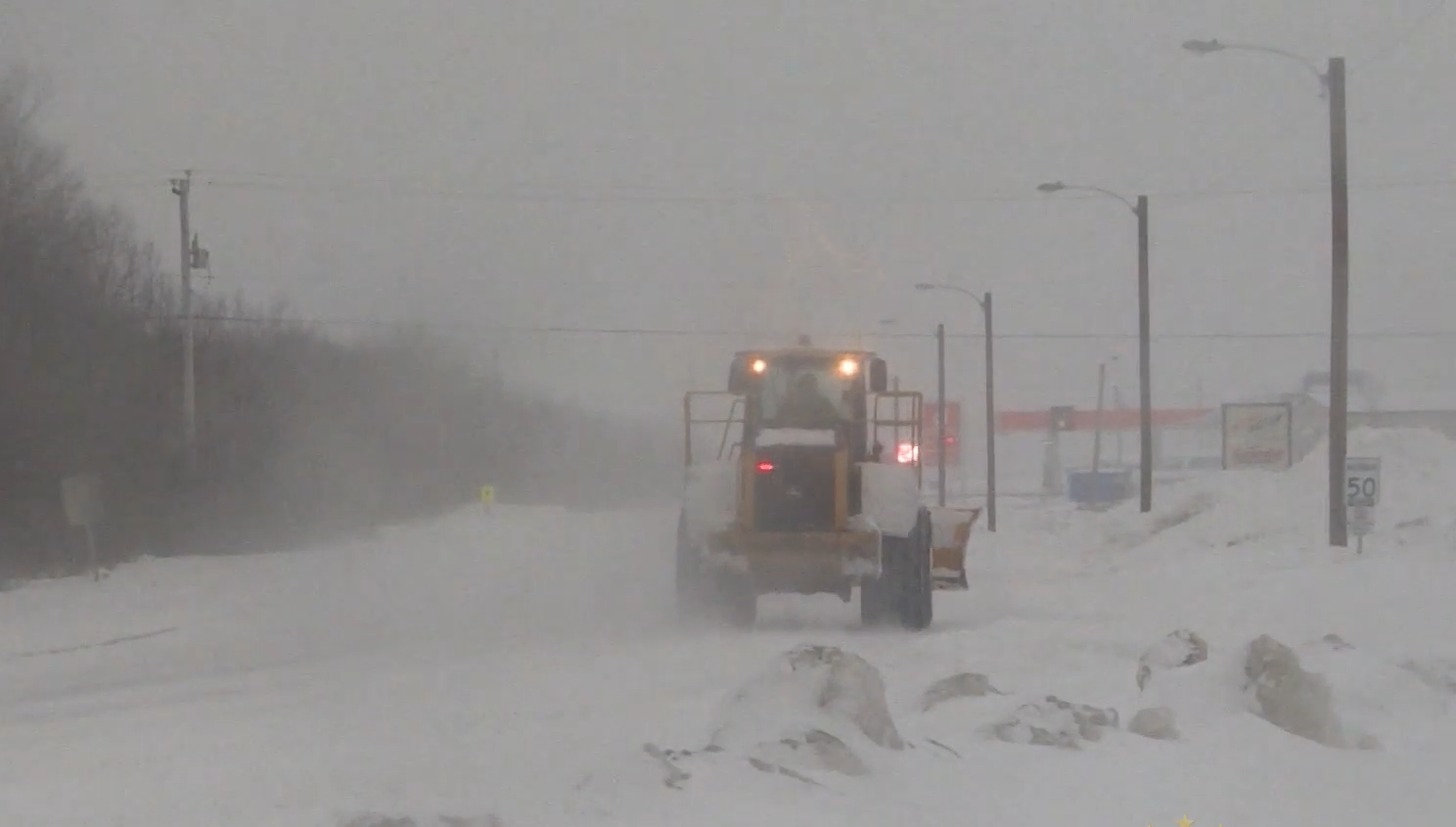
After mild temperatures removed much of the snow on the Avalon Peninsula this week, Mother Nature returned Sunday with a heavy snowfall for much of Eastern Newfoundland.
An estimated 15 cm fell on the metro region overnight, and snow is expected to stop by noon
Mild temperatures are expected to return early in the week with double digits numbers set for parts of the province on Tuesday, reaching as high as 11° in St. John’s.
Here’s how the weather looks today:
St. John’s: Snow or freezing drizzle ending early this afternoon then cloudy with 40 percent chance of flurries. Blowing snow over exposed areas. Snowfall amount 2 to 4 cm. Wind northeast 40 km/h gusting to 60 becoming northwest 40 gusting to 60 except gusting to 80 along parts of the coast this afternoon. Tonight: Temperature falling to minus 3 this morning then steady. Wind chill near minus 13. UV index 2 or low.
Gander: Snow ending near noon then cloudy with 40 percent chance of flurries. Blowing snow over exposed areas this morning. Amount 5 cm. Wind northeast 40 km/h gusting to 60 becoming northwest 30 gusting to 50 near noon. Temperature steady near minus 5. Wind chill near minus 15. UV index 2 or low.
Corner Brook: Snow ending this morning then mainly cloudy with 60 percent chance of flurries. Wind becoming northwest 20 km/h gusting to 40 this afternoon. Temperature steady near minus 4. Wind chill near minus 12. UV index 1 or low.
St. Anthony: Periods of light snow ending this morning then clearing. Wind north 20 km/h gusting to 40 becoming west 20 gusting to 40 this afternoon. High minus 7. Wind chill near minus 18. UV index 1 or low.
Happy Valley-Goose Bay: Mainly sunny. Wind becoming southwest 20 km/h this afternoon. High minus 6. Wind chill minus 32 this morning and minus 13 this afternoon. Risk of frostbite. UV index 2 or low.