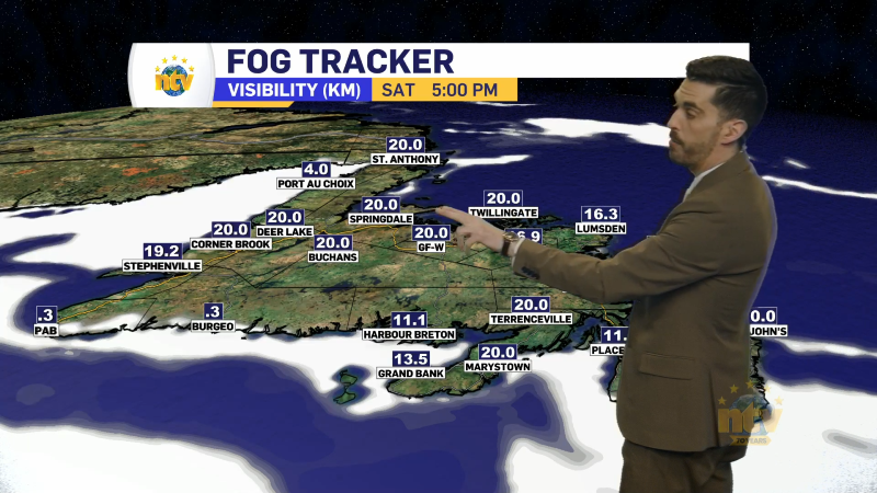
Monday is off to a foggy, damp, or cloudy to start to many areas of the Island. The densest fog, and subsequent RDF, are likely being found along many shorelines this morning, particularly the ones that face east. This is because we facing an easterly flow this morning, meaning the wind direction is coming from the east and flowing to the west. This pushes the marine layer (clouds, drizzle, and fog) inland for areas that face that direction. Visibility at St. John’s International Airport this morning is sitting at about 400 metres, thanks to this weather pattern. That should improve throughout the day.
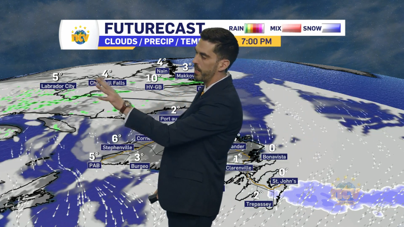
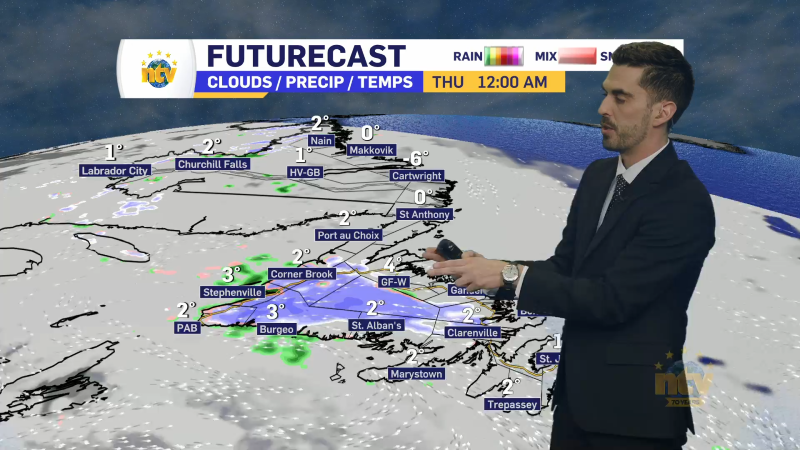
Even though we are under this easterly flow today, the forecast isn’t all clouds and drizzle. In fact, much of the Island (even eastern areas) will see some sunshine at times today. At times being the keyword. Most of the day will be cloudy. The sunniest areas will obviously be away from those east-facing shorelines. The animated GIF below shows how the clouds will break up this morning and many of us will see sunshine by the afternoon. The key is white and black. White means clouds and black means no clouds.

Temperatures today, on the Island, will peak in the teens to lower and even middle 20s. The warmest readings will be found through the Central, Interior, and western parts of the Island, away from the marine influence. Areas near the shorelines, where onshore flow is present, will be cooler. Likely down into the middle teens… or even lower in some areas.

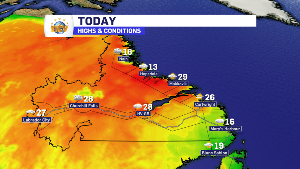
Meanwhile, the forecast for the Big Land is quite a bit easier today. Expect a fair bit of sunshine, with some occasional cloud cover. Highs will be in the 20s to near 30 for highs today. The warmest readings will be found along/near the mid-coast.

A Heat Warning is in effect for parts of coastal Labrador today. Click this link, or the map, to read about that.


