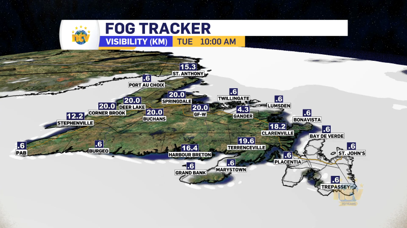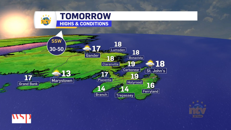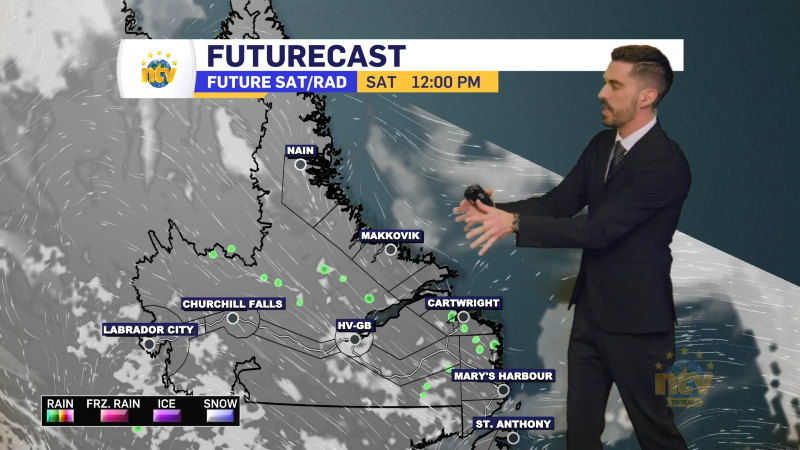

This is my forecast from last night’s NTV Evening News Hour. Even though it is a little bit dated, it still will give you a very good idea of what to expect today. I’ll have updates on the weather on NTV.ca through today
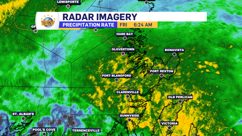
Oscar’s remnants have moved onto the Island and are bringing heavy rain to multiple locations this morning. As of 6:30 AM, the heaviest rain is located on the Avalon Peninsula, where rainfall rates exceed 15 mm per hour in some areas. Rain that heavy will lead to ponding on roadways and the potential for some localized flooding. We also see pockets of heavy rain across the Burin Peninsula, the northeast coast, and parts of the interior and western Newfoundland. Here are some radar images collected a few moments ago.

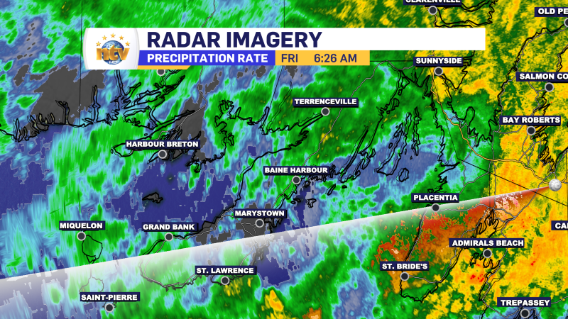

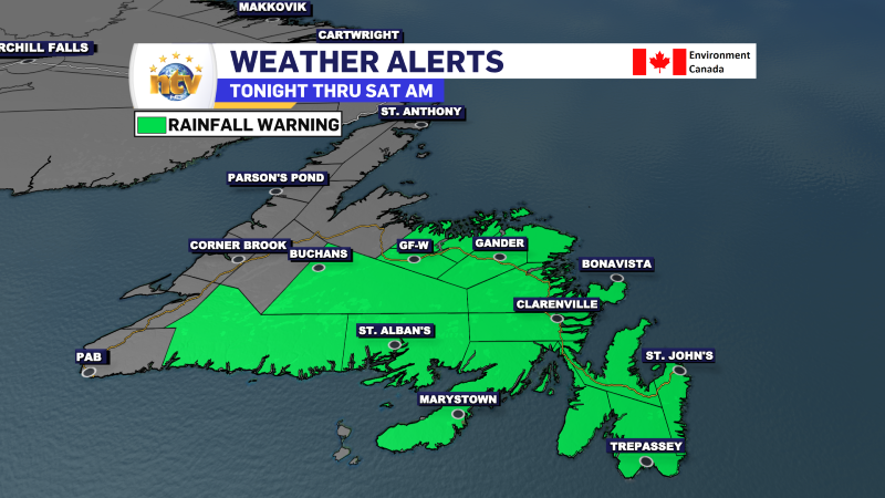
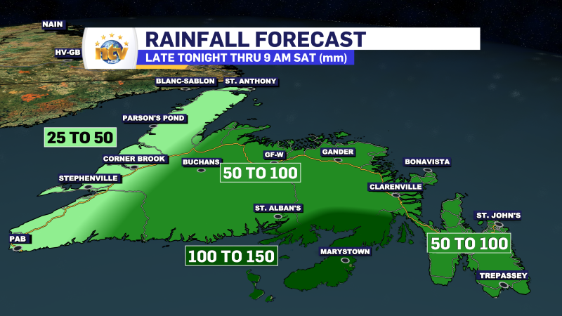
Rainfall Warnings remain in effect for much of the Island this morning and are not set to expire until early Saturday morning. The highest rainfall totals are still expected to be over eastern Newfoundland, with some areas seeing more than 100 mm of rain, most of which will have fallen between early this morning and midday today.
I’ll have a more detailed update for you on what the rest of the day is going to look like later this morning.
Check back for updates!


