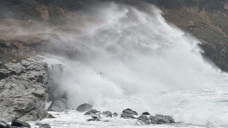
The statement reads as follows:
A low pressure system formed off Cape Hatteras early Saturday and
rapidly intensified into a powerful storm as it tracked
northeastward to stall over the Avalon Peninsula on Sunday. From a
meteorological perspective, the storm met nearly double the criteria
for a 'weather bomb,' with its central pressure dropping nearly 48
millibars in 24 hours. Barometric pressure was analyzed at 951
millibars as the storm's centre moved onto the southern Avalon
Peninsula, which was the most intense value observed on land over
Newfoundland since March 2017, and the lowest measured on the Avalon
Peninsula since Hurricane Igor made landfall in September 2010.

The main impacts from the storm were associated with strong winds
and storm surge.

Numerous reports of coastal flooding due to storm surge were
received from areas along the east and northeast coasts, leading to
structural collapses, infrastructure damage, and road washouts in
several communities. The Town of Gambo entered a state of emergency
as waves and storm surge inundated parts of the community.

The strong winds also caused downed trees, damage to buildings, and
numerous power outages. Saturated and unfrozen ground undoubtedly
contributed to increased susceptibility to damage compared to what
might occur during more typical January conditions. A number of
ferry crossings were cancelled as well.

Precipitation amounts were relatively modest, consisting of rain in
the east and snow followed by rain in the west and north. Reported
snowfall amounts were generally unremarkable, with a couple of
centimetres or less in most communities that received snow. However,
difficult driving conditions were reported over higher elevations in
northern Newfoundland, as well as southern Labrador, suggesting
heavier snowfall in those areas.

The following is a summary of weather event information received by
Environment and Climate Change Canada as of 10:30 A.M. NST today.

1. Maximum wind gusts in kilometres per hour.

Sagona Island: 151
Grates Cove: 141
Bonavista: 136
Musgrave Harbour: 134 *
Pool's Island: 132
Twillingate: 125
Cape Pine: 122 *
Caplin Cove: 120 *
Saint-Pierre Airport (France): 115
St. John's Int'l Airport: 115
Fogo Island: 113 *
St. John's (Robin Hood Bay): 113 *
Ferolle Point: 111
St. John's (East White Hills): 111 *
Cape Race: 109
Red Bay (Labrador): 106 *
St. Anthony Airport: 106
Trinity (Fort Point): 104 *
Blanc-Sablon Airport (Quebec): 105
Gander Int'l Airport: 104
Lord's Cove: 103 *
Port aux Basques: 103

2. Rainfall in millimetres.

Burin Bay Arm: 41.7 *
Heart's Desire: 41.4 *
Green's Harbour: 40.6 *
Salmonier Nature Park: 39.6 *
St. Lawrence: 33.5
Gander West: 25.4 *
Lethbridge: 23.0
Bay Roberts: 21.1 *
St. John's Int'l Airport: 19.4

* denotes unofficial observation stat


