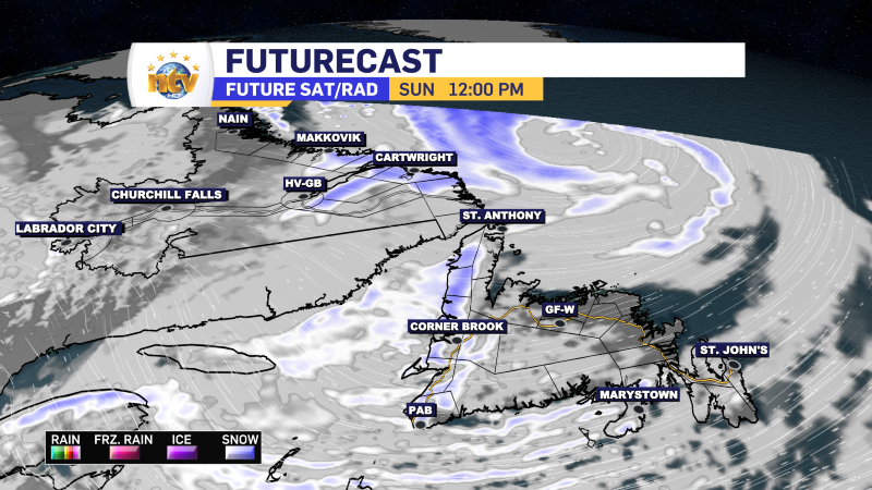
The area of low pressure that brought a messy mix of rain, ice, and snow to the Island Saturday and a blizzard to southeast Labrador Saturday into this morning continues to spin and impact the Provincial weather. The animation below shows this very well.
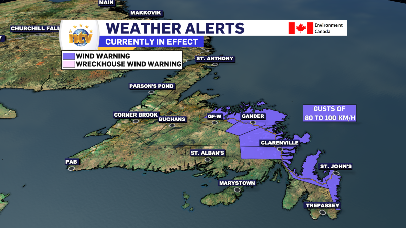
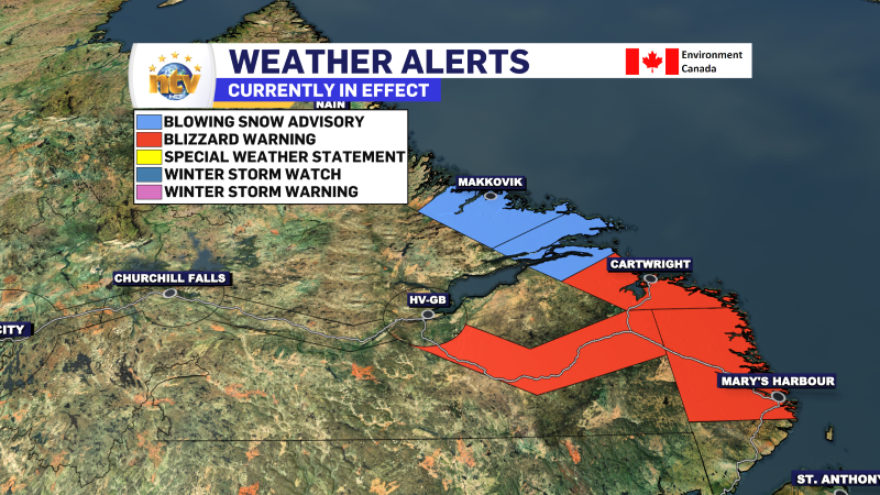
As of early Sunday morning, Wind Warnings were still in effect for portions of central, northeastern, and eastern Newfoundland, and a Blizzard Warning is in effect for southeast Labrador. A Blowing Snow Advisory is also in effect for the mid-coast. Travel conditions along the Great Northern Peninsula and into Southern Labrador aren’t good right now as many roads are closed. Vist 511NL.ca for details.
As the low-pressure area departs today, the wind speeds will slowly calm down, and the winter storm and blizzard conditions along the Labrador Coast will improve.
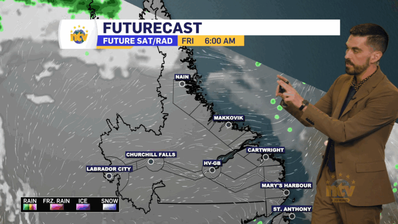
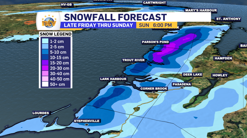
The West Coast will see periods of snow all day, enhanced by onshore winds. Snowfall in the lower elevations will be light to moderate at times, but significant amounts are likely in higher terrain. Keep that in mind if you travels take you that way. The forecast below shows the snowfall forecast for the area through tomorrow morning.
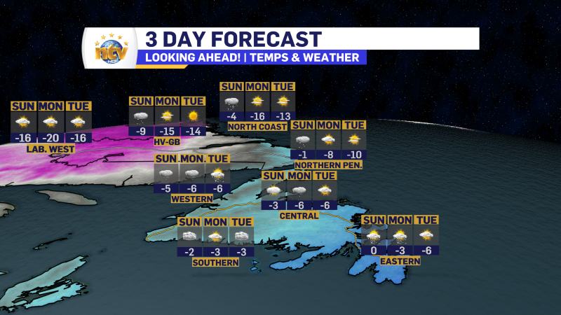
We are also looking at colder temperatures today and for the next few days. On top of that the weather for Christmas Week seems very quiet for the upcoming week, which will be helpful for any travel across, through or into the Province.
-

Hot and dry weather continues
Sunny skies are expected right across the province today. There will be some areas of…