Good Monday morning, everyone! Be sure to check back on this blog post throughout the day as I will be updating it with new weather information at various times. The latest posts will be at the top.
Post 5 | 6:42 PM NST (6:12 AST)
Here are some highlights of each day for the remainder of the week. To get the full forecast, watch the video attached to this post.
Tuesday
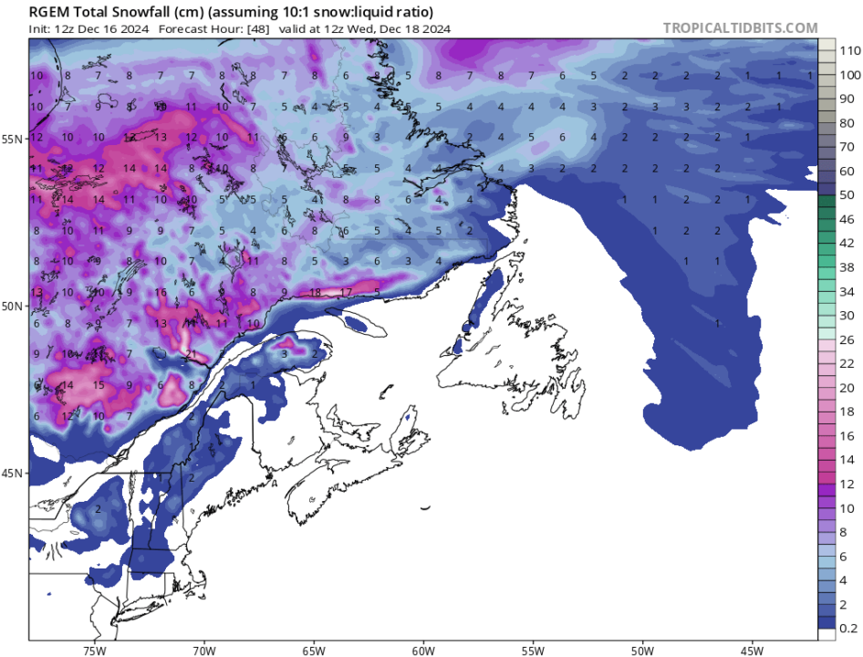
- Snow in Labrador (5 to 15 cm — see below)
- Sun to start on the Island, but clouds arrive late
- Rain arrives in the southwest late and spreads east and north
- Wind speeds pick up south and west
Wednesday
- AM Showers end in eastern Newfoundland
- Quiet weather in Labrador
- Quiet on the Island as well
- Temps remain mild-ish
Thursday
- Next system arrives
- Snow throughout central and western Newfoundland (5 to 15 cm)
- Rain on the Avalon and in the east
- Flurries in southeast Labrador
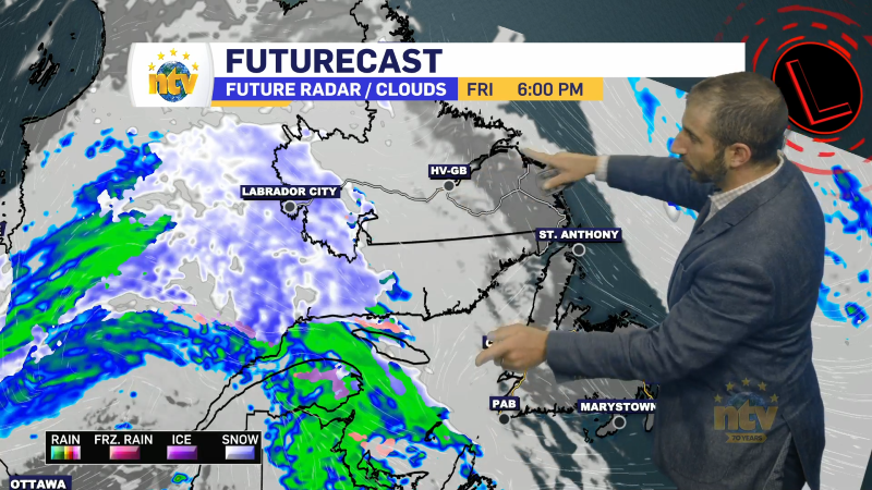
Friday
- Another in-between day
- Somewhat cooler weather, especially in Labrador
- Quiet end to the work week
- Good day for some shopping!
Saturday
- Next system arrives
- It looks potent and messy with rain, snow and ice
- Significant snowfall possible
- Amounts uncertain at this time
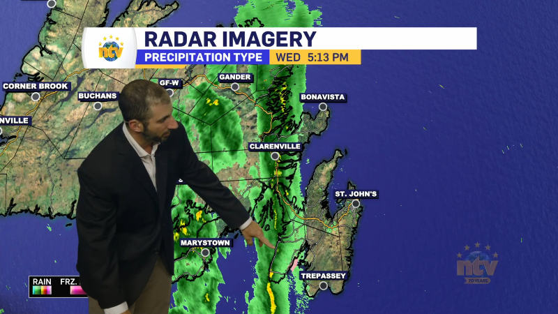
Post 4 | 5:43 PM NST (5:13 PM AST)
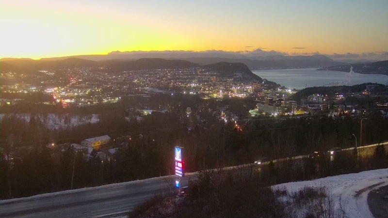
The sunset in Corner Brook was lovely! Speaking of sunsets, they are already getting later as we approach the winter solstice. Sadly, until we move past December 21, the sunrises will also get later. However once past the 21st, the shortest day of the year, the days will start to get longer!
Post 3 | 2:56 PM NST (1:26 PM AST)
A little snow is on the way to the Big Land between late tonight and late Tuesday night. Generally a swath of 5 to 10 cm can be expected. There will be lower amount in the southeast, where snow will mix rain on Tuesday.
Meanwhile… the Island will see some rain Tuesday afternoon into Wednesday morning. The rain will arrive on the southeast coast Tuesday afternoon and spread north and east Tuesday night. The rain moves offshore of the Acalon early Wednesday morning setting us up for a decent day.
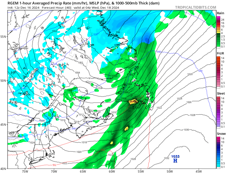
The next weather-maker arrives Thursday and will be decidedly more potent…
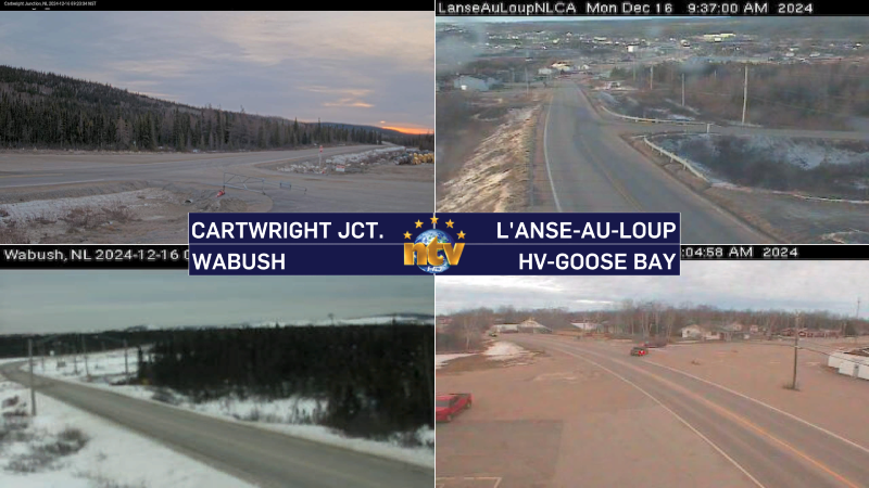
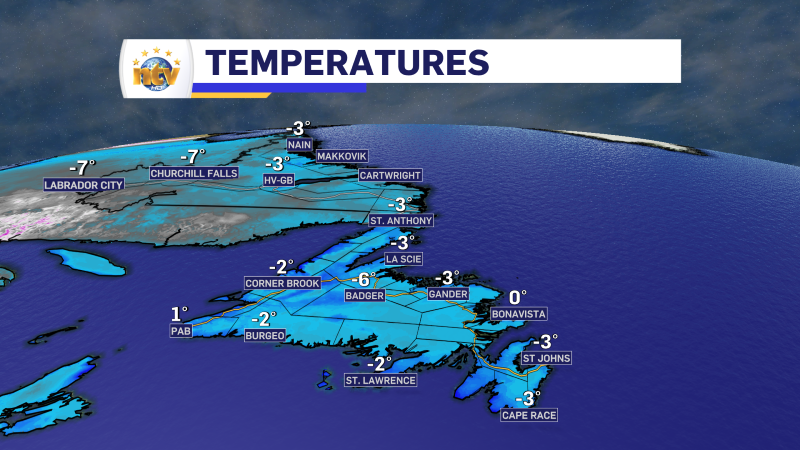
POST 2 | 9:40 AM NST (8:50 AM AST)
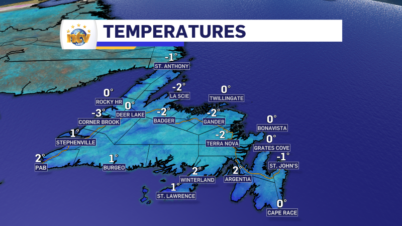
Here are the temperatures and some webcam images from across the Province as of 9:40 AM NST (8:50 AM AST)

Sunrise from Carbonear, NL. @EddieSheerr #nlwx pic.twitter.com/n6mCYXScCG
— Brendon Roach (@broachy68) December 16, 2024
Post 1: 6:18 AM NST (5:48 AM AST)
The weather across the Province is pretty quiet this morning as an area of high pressure is dominiating the weather across the region. High pressure happens when air sinks toward the ground, creating clear skies and calm weather because the sinking air prevents clouds from forming. Think of it like a big, heavy blanket of air that pushes bad weather away. Typically these highs can bring cold temperatures… in our case it’s chilly to start to the day but overly cold. In fact, in Labrador temperatures are already above the normal highs for the day.
Today will see almost cloudless skies over the Island, while some high, thin clouds move into Labradodr around the back side of the high. The flow around highs is clockwise so these clouds will be moving in from Quebec and Ontario. Temperatures will be above normal for most of Labrador and closer to normal on the Island.
-

NTV Weather Update | May 2, 2025
The weather over the weekend looks generally warmer across the Island, with a chance of…