


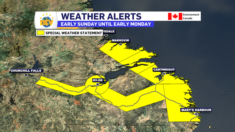
A significant winter storm is on track to impact portions of Labrador from Sunday morning through early Monday. While it may be spring on the calendar, this system will bring a solid dose of winter weather to several areas just in time for Mother’s Day.
The Environment and Climate Change Canada Weather Office in Gander has issued a Special Weather Statement for the early Sunday through early Monday time frame for the following areas:
- Norman Bay to Lodge Bay
- Cartwright to Black Tickle
- Rigolet and vicinity
- Postville – Makkovik
- Upper Lake Melville
- Eagle River
- Churchill Valley
What to Expect:
- Locations Affected: Churchill Valley to Eagle River, and coastal areas from Postville to Lodge Bay
- Snowfall: 15 to 25 cm, with locally higher totals possible, especially in elevated areas
- Wind Gusts: Northerly winds peaking between 60 and 80 km/h
- Timing: Begins Sunday morning and tapers off by Monday morning
There is still some uncertainty about exactly where the heaviest snowfall will land, but significant amounts are likely, particularly along sections of the Trans Labrador Highway. These areas may see hazardous conditions develop quickly as snow piles up and visibility drops due to blowing snow.
Planning Ahead:
If you’re travelling for Mother’s Day, it’s a good idea to reach your destination before conditions worsen. Rapid snow accumulation and strong winds could make roads treacherous—especially in exposed or higher-terrain regions.
If travel can’t be avoided, make sure your vehicle is equipped for winter driving and check local road conditions before heading out. The best resource for updated road conditions is 511NL.ca
-
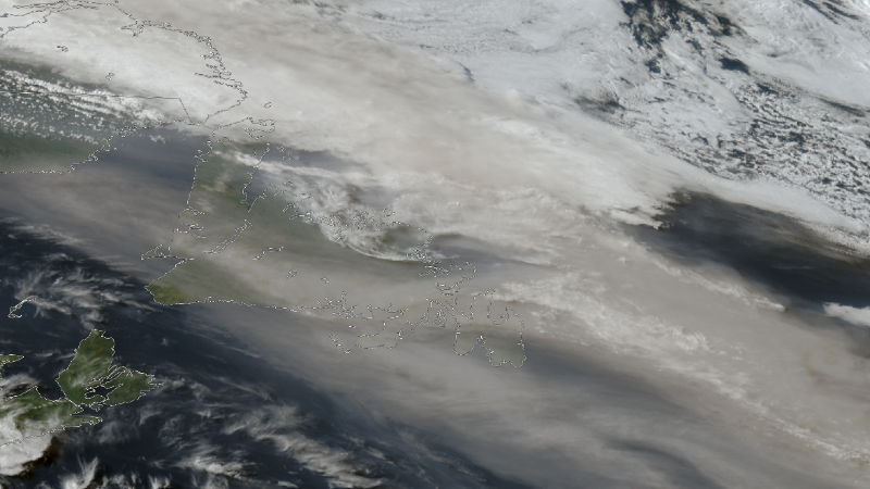
NTV Weather Update | May 29, 2025
The haze across Newfoundland today created some beautiful scenes — we received several photos of…
-
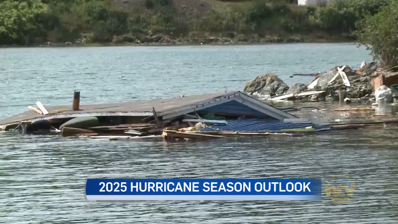
Canadian Hurricane Centre predict five possible hurricanes in Atlantic region this year
Newfoundland and Labrador can expect another active storm season this summer and fall. Forecasters with…
-
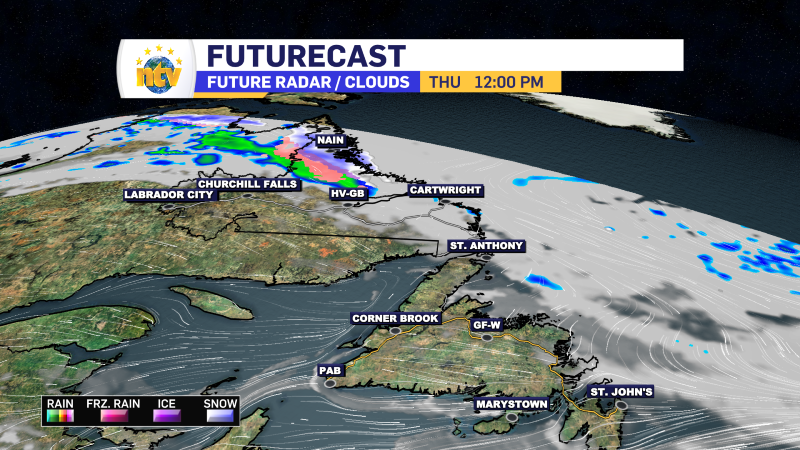
NTV Weather Update | May 28, 2025
As we head through the overnight hours, most of Newfoundland and Labrador will stay relatively…
