Sun, wind, rain and snow. Full range of weather across Newfoundland and Labrador Tuesday

Ryan Harding, NTV Weather Centre
Strong wind continues into Tuesday for Newfoundland as rain comes and goes
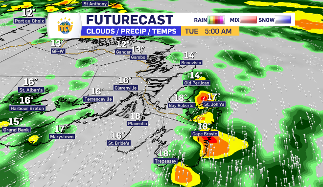
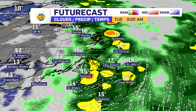
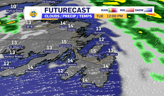
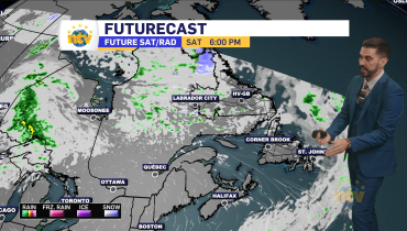
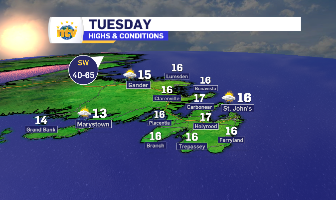
There is left over rain on the eastern side of the island into Tuesday morning, taking until the afternoon to tapper off. Once it does, it is replaced with sunny skies. However, the wind continues to blow shifting west causing the temperatures to cool into the afternoon despite the added sun.
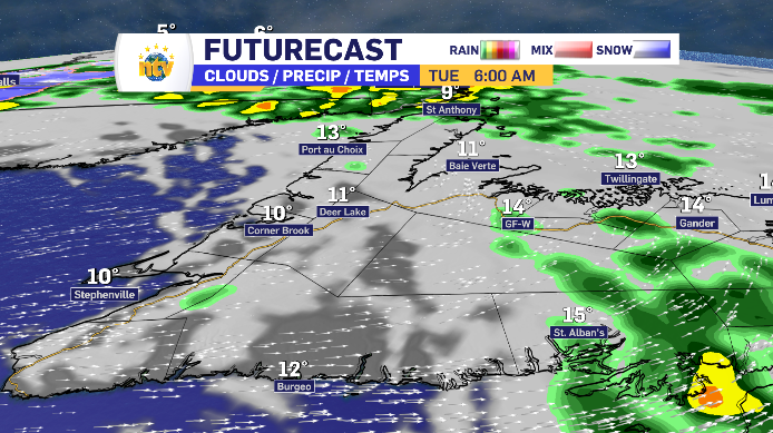
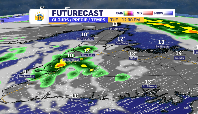
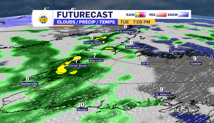
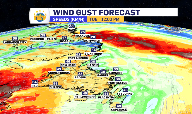
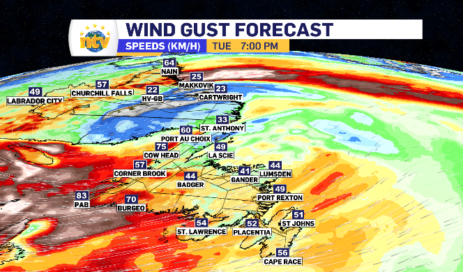
Central Newfoundland looks to benefit from the most time under the sun Tuesday. Early morning light showers clear with the skies, but passing brief showers linger once more mid to late afternoon. West winds here pick up to gusts of 30-50 km/h lowering the temperature through the afternoon as well.
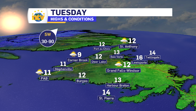
West Coast Newfoundland into parts of the Northern Peninsula start the day with sun but see rain return in the afternoon and build into another 10-20 mm through the evening. This comes with more strong winds, specifically in the southwest, with a west wind limiting daytime highs.
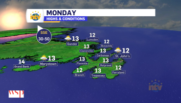
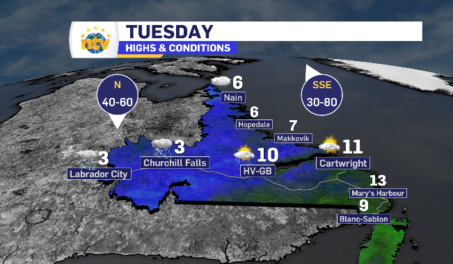
Newfoundland and Labrador daytime highs for Tuesday
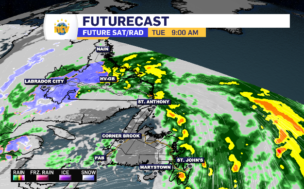
Wind with rain and snow mix overtakes Labrador through Tuesday
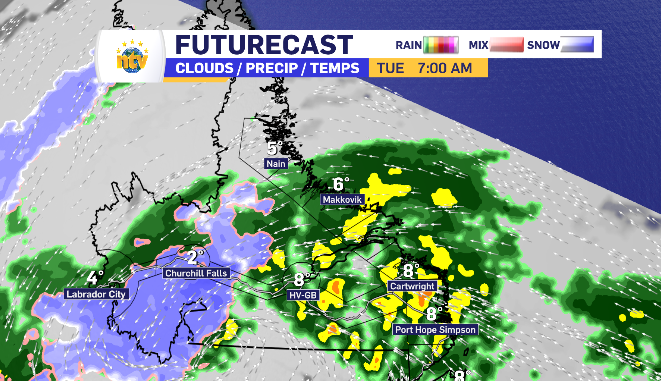
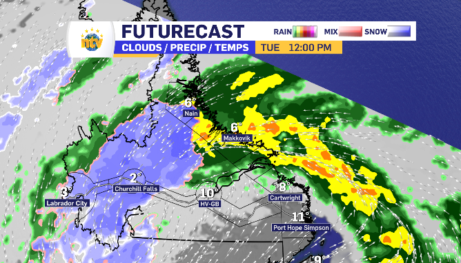
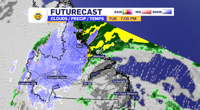
The rain left over from the overnight continues to fall in Happy Valley-Goose Bay Tuesday morning and spends the day moving up the coastline.
The Big Land’s totals combined with Monday evening range from 20-40 mm on average with Churchill Falls having the opportunity to finish closer to the 50 mm mark.
Some of that will depend on the rain, snow and wet snow mix in Labrador West. Winds shifting north keep the temperature hovering the two degree mark, meaning a likely messy mix is in store. 1 cm of accumulated snow is expected with some higher elevated areas potentially seeing more. Most likely, any snow that forms will be washed away by a consistent rain
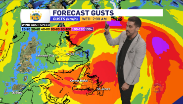
It’s worth noting, as shown above, coastal Labrador does see the wind increase as Tuesday progresses.
Related Articles