Weather Forecast: Sunday, June 14
A mix of cloud and sunshine is forecast for much of Newfoundland today, while cloudier conditions and the chance of drizzle linger along the South Coast.
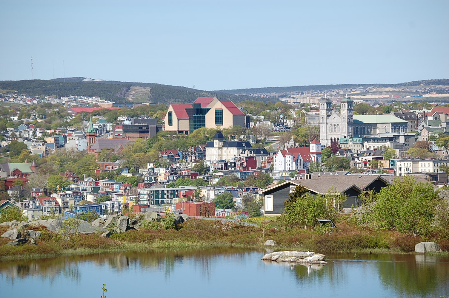
St. John’s / Bonavista
Today
Skies gradually clear in St. John’s this morning, while Bonavista remains cloudy before becoming a mix of sun and cloud this afternoon. High 12 in St. John’s and 13 in Bonavista, though inland areas could reach 16 degrees or higher. Coastal sections of Bonavista remain cooler near 6. UV index 7 to 8, high to very high.
Tonight
Partly cloudy conditions continue with temperatures dropping to near 3 or 4 degrees. Low-lying inland areas may fall to around zero or slightly below, bringing a risk of patchy frost.
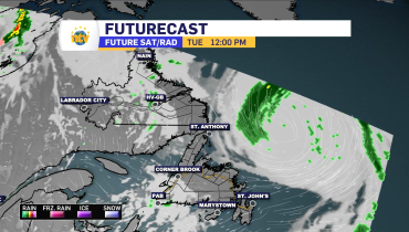
Mon, June 15
A mix of sun and cloud. High 14 in St. John’s and 17 in Bonavista, with warmer temperatures inland and cooler readings along exposed coastlines. UV index 7 or high.
South Coast
Today
Cloudy skies continue in Channel-Port aux Basques, with a 60 per cent chance of drizzle or showers this morning. Southeast winds increase to 20 km/h gusting to 40. High 10. UV index 5 or moderate.
Tonight
Mainly cloudy with southeast winds continuing. Low 7.
Mon, June 15
Mainly cloudy with periods of drizzle in onshore winds. Southeast winds strengthen to 30 km/h gusting to 50, with gusts reaching 70 km/h in the Wreckhouse area during the afternoon. Temperatures remain near 8, though areas north of Cape Ray could reach 15. UV index 2 or low.
Central
Today
Cloudy skies in Gander become a mix of sun and cloud this afternoon. High 13. UV index 7 or high.
Tonight
Partly cloudy with temperatures falling to around 4 degrees. Low-lying areas could dip to near zero with patchy frost possible.
Mon, June 15
A mix of sun and cloud continues. High 17. UV index 7 or high.
West Coast
Today
Mainly cloudy conditions persist in Corner Brook. High 13. UV index 6 or high.
Tonight
Cloudy skies become partly cloudy near midnight. Low 8, though sheltered inland areas may fall to around 3 degrees with a risk of frost.
Mon, June 15
A mix of sun and cloud with a 40 per cent chance of showers developing during the afternoon. Southeast winds increase during the morning. High 18. UV index 8 or very high.
Northern Peninsula
Today
Cloudy skies gradually give way to a mix of sun and cloud this afternoon in St. Anthony. High 12, though coastal areas remain cooler near 8. UV index 5 or moderate.
Tonight
Partly cloudy early, becoming mostly clear this evening. Fog patches may develop near midnight. Low plus 3, with temperatures dropping below freezing in some inland locations. Patchy frost possible.
Mon, June 15
Mainly sunny after any morning fog dissipates. Winds become northeast 20 km/h. High 13. UV index 7 or high.
Happy Valley–Goose Bay
Today
Mainly cloudy with northeast winds developing this afternoon. High 14. UV index 6 or high.
Tonight
Skies clear during the evening as winds ease. Low 6.
Mon, June 15
Periods of rain develop across the region. High 16.
Monday Night
Periods of rain continue. Low 10.
Related Articles