Return of double digits for Eastern Newfoundland

Ryan Harding, NTV Weather Centre
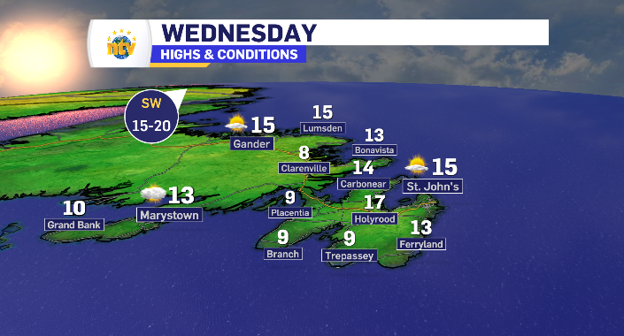
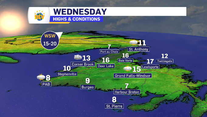
South wind brings return of double digit temperatures for most of Newfoundland Wednesday
That’s more like it! Still room for growth, in terms of a June temperature. But luckily, that’s in the short term forecast as well.
Gone is the north wind that has kept, specifically, Eastern Newfoundland below average and in the RDF. In it’s place, is a south and southwest wind that is brining seasonal temperatures back to most of the island.
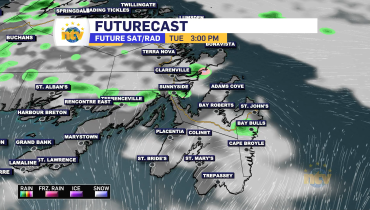
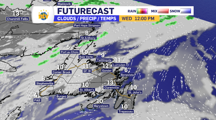
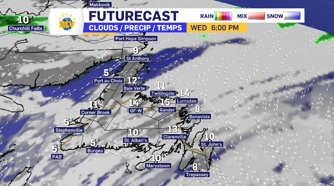
Sun and Cloud is the sentiment across Newfoundland Wednesday, with extra cloud found on the West Coast in the morning. That cloud spends the day increasing through Central and shifts over to the eastern side of Newfoundland into the evening.
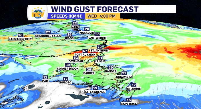
The south wind does keep most south-facing communities below the 10 degree mark and is coming in at a pretty evenly distributed 15-35 km/h rate.
The wind does, however, pick up along the Great Northern Peninsula to a 50-70 km/h rate with a west tilt, meaning limited temperatures in western coastal regions such as Port au Choix.
Newfoundland and Labrador daytime highs for Wednesday

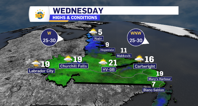
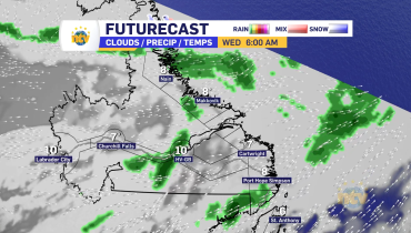
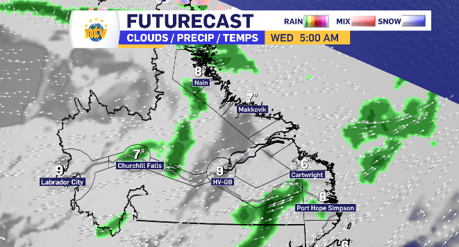
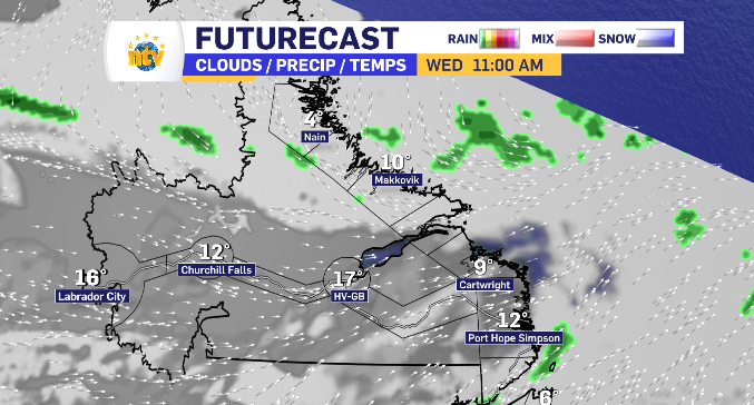
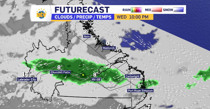
Light rain across Labrador bookends a day of sun and cloud Wednesday
A north wind for Labrador North has temperatures limited, while a west wind moving across the Big Land keep inland and the South Coast above the double digit threshold, with Happy Valley-Goose Bay taking home the top temperature of the day.
There is some morning light rain for Nain down to Makkovik, very limited, before cloud rules the day. That cloud does increase across the rest of Labrador, breaking up the day of sun. It also brings with it about 5 mm of rain Wednesday evening for Churchill Falls through to Happy Valley-Goose Bay.
Related Articles