


Weather Forecast: Sunday, May 31
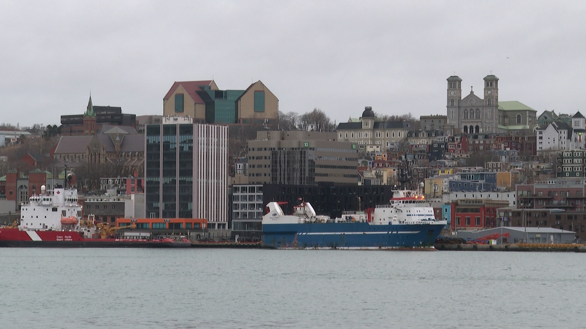
A cool start to June is expected across eastern Newfoundland, where cloudy skies today will give way to a mix of snow and rain in some regions overnight and Monday.
St. John’s / Eastern:
Today: Mainly cloudy with a chance of morning drizzle. Fog patches dissipate through the morning. Wind becomes northeast 20 km/h this afternoon. High 4 in St. John’s and 3 in Bonavista, though inland areas could reach 7 to 8 degrees. UV index 5 to 6, moderate to high.
Tonight: Cloudy skies continue. Snow or rain develops after midnight in the St. John’s region, with up to 2 cm of snow possible inland and over higher terrain. Bonavista has a chance of flurries or rain showers overnight. Wind northeast 20 km/h gusting to 40, increasing to 40 gusting to 60 near St. John’s before morning. Low plus 1.
Tomorrow
Snow inland and over higher terrain, with rain along coastal sections of the Avalon Peninsula. About 5 cm of snow is possible inland near St. John’s, while coastal areas could receive up to 10 mm of rain. Bonavista will see a mix of rain showers and flurries. Wind northeast 30 to 40 km/h gusting to 50 or 60. High near 2 in St. John’s and 3 in Bonavista. UV index low.
Central
Today: Mainly cloudy in Gander with a chance of drizzle or flurries this morning. Fog patches dissipate through the morning. High 8. UV index 6 or high.
Tonight: Mainly cloudy with a chance of drizzle or flurries overnight. Wind becoming northeast 20 km/h gusting to 40. Low zero.
Tomorrow: Cloudy with a chance of drizzle or flurries, especially during the morning. Wind northeast 30 km/h gusting to 50. High 3. UV index 4 or moderate.
West Coast
Today: A mix of sun and cloud in Corner Brook. Wind becoming northeast 20 km/h this afternoon. High 12. UV index 6 or high.
Tonight: Partly cloudy. Wind northeast 20 km/h. Low plus 1.
Tomorrow: A mix of sun and cloud continues with a high of 10. Wind northeast 20 km/h. UV index 6 or high.
South Coast:
Today: A mix of sun and cloud across Channel-Port aux Basques. Wind becoming east 20 km/h this morning. High 7, reaching 12 north of Cape Ray. UV index 6 or high.
Tonight: Partly cloudy. Low plus 3.
Tomorrow: A mix of sun and cloud continues. Wind becoming northeast 20 km/h in the morning. High 11. UV index 6 or high.
Northern Peninsula
Today: Mainly sunny in St. Anthony. Wind becoming north 20 km/h this afternoon. High 7. UV index 6 or high.
Tonight: Clear skies early, becoming partly cloudy near midnight. Wind becoming southeast 20 km/h this evening. Low minus 1.
Tomorrow: A mix of sun and cloud. Wind northeast 20 km/h gusting to 40. High 7. UV index 6 or high.
Southern Labrador:
Today: A mix of sun and cloud. Wind becoming southeast 20 km/h late this afternoon. High 8. Wind chill minus 6 this morning. UV index 6 or high.
Tonight: Partly cloudy. Becoming cloudy overnight. Wind southeast 20 km/h becoming light this evening. Low minus 2. Wind chill minus 6 overnight.
Tomorrow: Cloudy with 40 percent chance of rain showers or flurries. Wind becoming north 20 km/h in the morning. High plus 5. UV index 4 or moderate.
Happy Valley–Goose Bay
Today: Mainly sunny. Wind becoming northeast 20 km/h this afternoon. High 14. Wind chill minus 5 this morning. UV index 5 or moderate.
Tonight: A few clouds with increasing cloudiness before morning. Wind northeast 20 km/h gusting to 40. Low minus 1.
Tomorrow: Mainly cloudy. Wind becoming northeast 20 km/h gusting to 40 near noon. High 9. UV index 5 or moderate.
Labrador West:
Today: A mix of sun and cloud. Wind northeast 20 km/h. High 15. UV index 6 or high.
Tonight: Partly cloudy. Clearing after midnight. Wind northeast 20 km/h. Low plus 1.
Tomorrow: Mainly sunny. High 12. UV index 6 or high.