THIS ALERT HAS BEEN MODIFIED AND IS NO LONGER IN EFFECT
The Environment and Climate Change Canada Weather Office in Gander has issued a Special Weather Statement for the following areas from late Wednesday into early Thursday morning:
- Burgeo – Ramea
- Channel-Port aux Basques & vicinity
- Corner Brook & vicinity
- Gros Morne
- Bay St. George
- Parson’s Pond – Hawke’s Bay
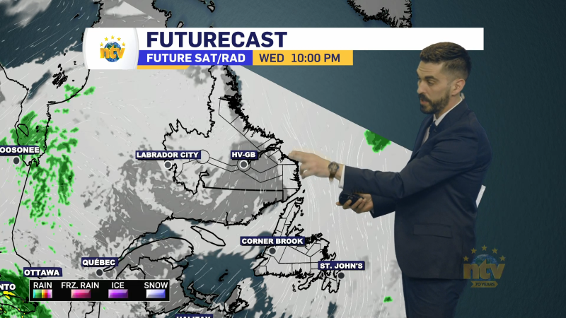
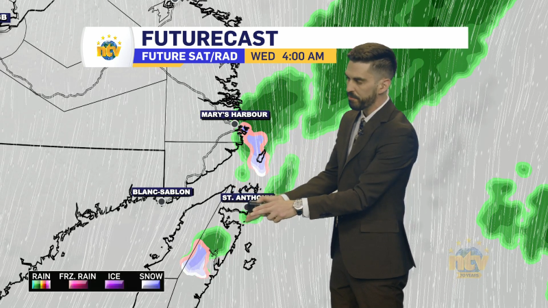
Snow and strong winds are expected to develop over southwestern Newfoundland Wednesday evening, then spread northward through the night. The heaviest snowfall is expected over inland areas of the South Coast, with the strongest wind gusts occurring along the West Coast and in the Wreckhouse area. Visibility will be reduced at times in blowing snow. Snow will taper off to a few showers or flurries as winds die down and shift southwesterly Thursday morning.
Snowfall amounts look to be around 5 cm in the lower elevations and as much as 15 cm in the higher terrain just inland from the South Coast.
Wind speeds will gust in the 130 to 150 km/h range in the Wreckhouse area and in areas along the West Coast prone to enhanced southeasterlies.
Consider this the heads up. Further alerts and Wind Warnings will likely be issued within the next 24 hours by the ECCC NL Office in Gander.