The weather across the Island is starting to be quite mild for the time of year. We are seeing areas of showers over eastern, central, and western Newfoundland this morning, per the latest radar imagery. Some areas of the West Coast are likely seeing more wet snow this morning. However, temperatures for many locations are hovering above the freezing mark as of 6:30 AM NST.
The fog we are seeing this morning should clear off over eastern regions later this morning as the wind turns more offshore and pick up a little bit.
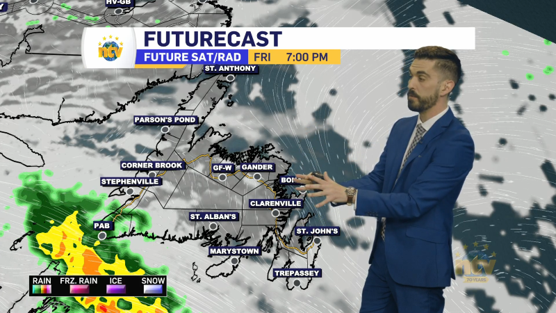
The showers and/or flurries, and even areas of west snow are going to be with us throughout most of the day on the Island. At the same time, we are going to be seeing some areas of light snow in parts of southern, eastern, and coastal Labrador. Futurecast shows that well, along with today’s expected temperatures. Notice how temperatures will fall throughout the day over western parts of the Island?
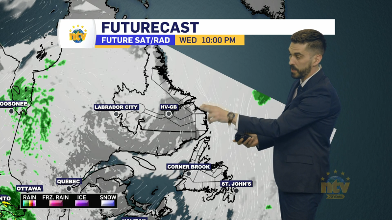
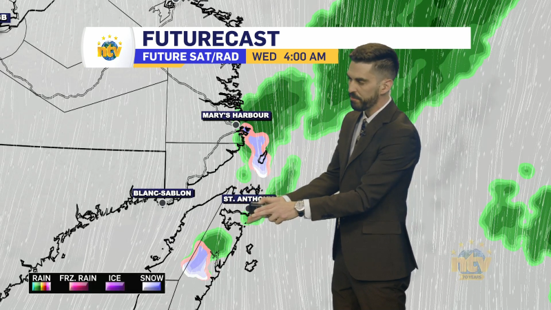
The weather overnight and Saturday generally look quiet across the Province but that will change Satruday night and Sunday when our next weather maker moves in. This will bring more snow to Labrador Saturday night and Sunday and a mix of ice, rain and snow to the Island Sunday.
A Winter Storm Watch is in effect from Saturday night through Sunday for Churchill Falls and Labrador City & Wabush for snowfall of more than 20 cm and wind gusts over 70 km/h.
I’ll have a more detailed forecast for your weekend later today.
/Eddie