An intense area of low pressure spinning south of the Burin Peninsula is driving more rain and wind across the Island as we start the last day of the week. The image below, courtesy of Ventusky, shows the pattern very well.
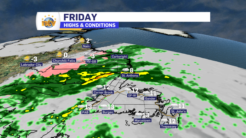
Radar imagery (from 6:15 AM) shows the rain is falling over much of the Island, and there are some pockets of heavy rain. On top of that, we are seeing winds gusting between 50 and 70 km/h from the east. This is making for some tropical storm-like conditions once combined with the rainfall.
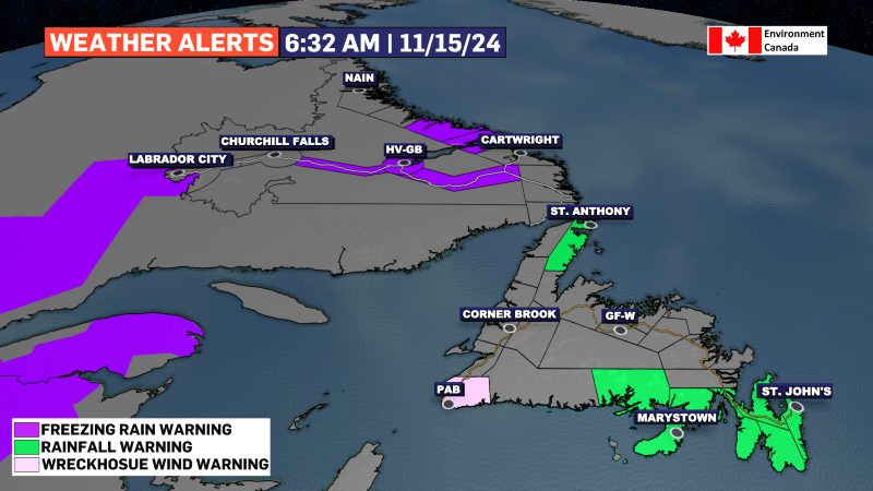
Rainfall Warnings are still in effect at this hour for eastern Newfoundland and the Northern Peninsula East, while a Wreckhouse Wind Warning remains in effect for Channel-Port aux Basques. A Freezing Rain Warning is also in effect for various areas in Labrador. Get all the details on the alerts from ECCC by clicking here.

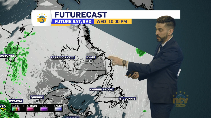
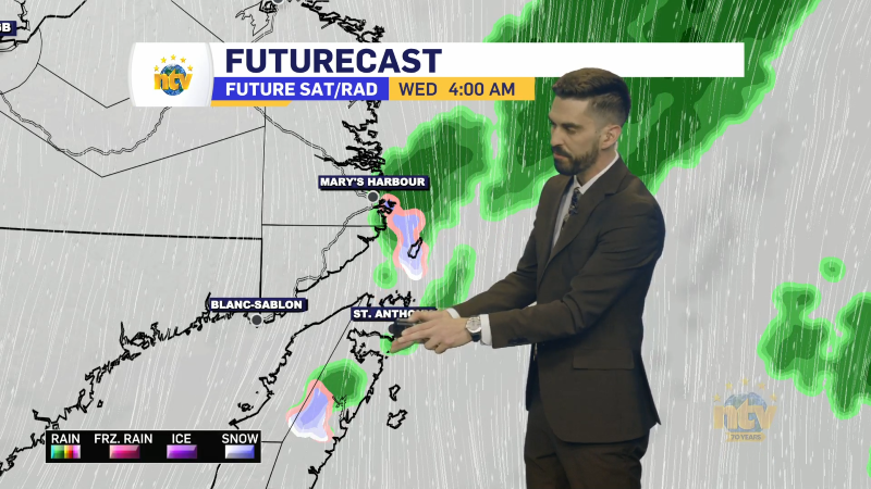
Today, mild temperatures will take hold across the Island. Rain will taper to showers from west to east. This will start later this morning on the Avalon and then slowly work to the west coast by the end of the day. Meanwhile, rain and freezing rain will persist in Labrador through much of the day and into tonight. Futurecast (below) does a good job of timing this out for you.
I’ll have a full update on the rainfall totals and what we can expect for the weekend coming up this evening on NTV starting at 5:30 PM on First Edition.


