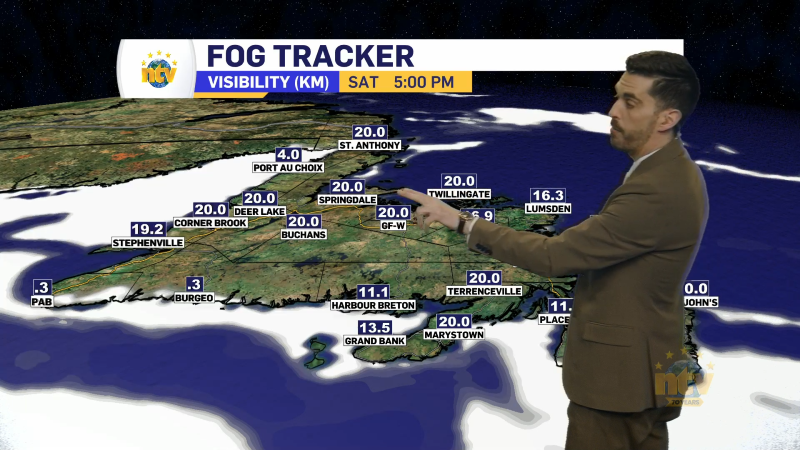
The weather across the Province this morning is already active, with lots of showers on the go across central, southern, interior, and western Newfoundland. Some of the showers feature heavy downpours at this hour, especially near Grand Falls-Windsor and over the West Coast. The radar image from just before 6:40 AM shows this very well. The showers move from south to north.
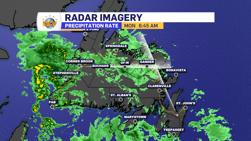
The reason we are seeing these showers is due to a low-pressure area currently over the Gaspe Peninsula region of Quebec. This low will slowly drift toward the east-northeast today, and the result will be more widespread showers over the Island as it progresses, making their way into eastern areas later this afternoon or this evening. There will also be some afternoon thunderstorms in western Labrador as well. The animated future radar (below) should give you a good sense of timing.
The thunderstorms that pop up over Labrador will likely have a fair bit of lightning and will also not be huge rain producers. This increases the risk of wildfires in the areas that see any lightning strikes. The good news it the fire anger forecast fro today indicates the risk is low to moderate in the area I’m expecting lightning strikes.

Temperatures today will be into the teens and 20s for much of NL as warm, southerly flow becomes more a dominant feature ahead of the inbound low. However, there will be some areas of onshore flow in coastal Labrador, which will keep temperatures comparatively low.
I’ll have your next update this afternoon or evening on NTV and NTV.ca, have a great day!
/Eddie