A weak area of high pressure will set up shop over the region as we close out the work week and move into the weekend. This high will keep the weather calm across Newfoundland and Labrador for Sunday, with very little in the way of notable weather expected.

Newfoundland Forecast Highlights
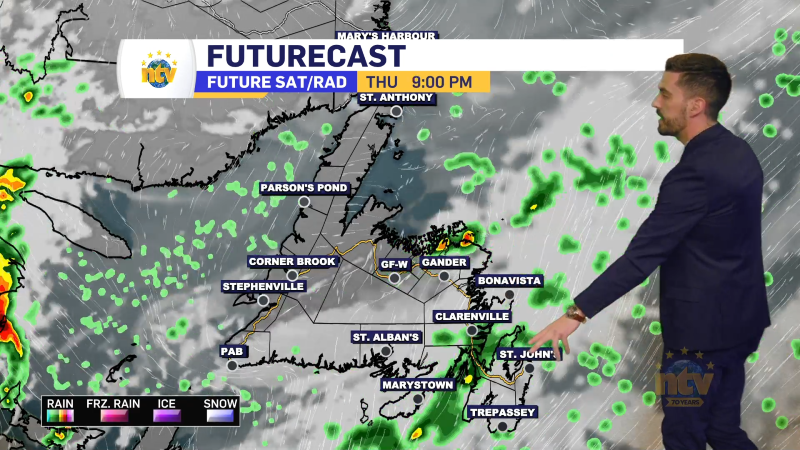
- The West Coast will see on and off flurries and/or showers through the weekend
- Sunshine becomes more widespread across the Island by Saturday, with a few more clouds Friday and Sunday
- Wind speeds will be light the weekend— what a nice change!
- Temperatures remain near normal in the east to above in the west
- The next chance of snow and rain looks to be early next week
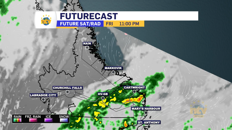
- As it looks now eastern/southern areas will see a mix of rain and snow while central and western sections, the GNP will be snow.
Labrador Forecast Highlights
- Temperatures remain unseasonably warm through the weekend, with high temperatures near 0.
- Flurries will linger in the West through Sunday
- Coastal areas will see some sunny breaks Saturday and widespread flurries Sunday
- Next chance of snow will be Tuesday on the coast and near the Straits