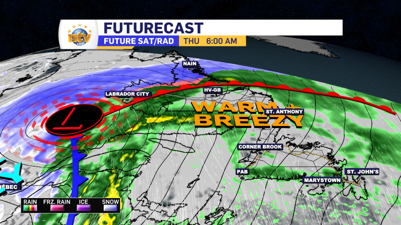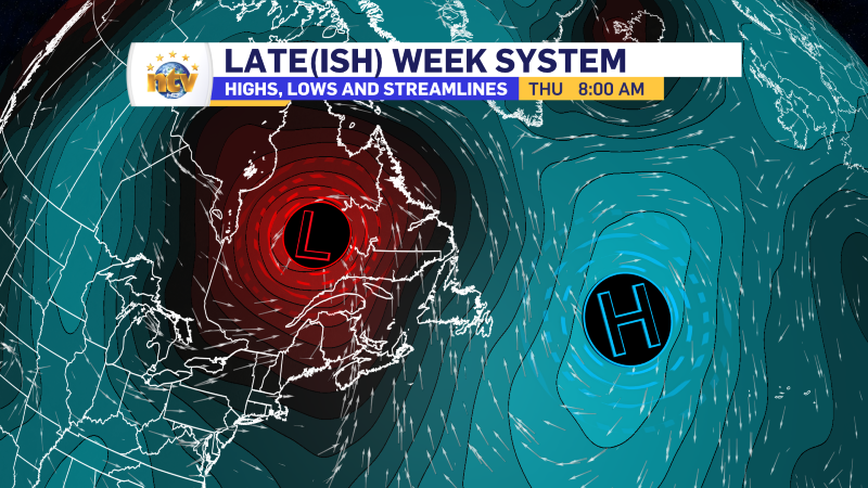
Good Thursday morning! We are waking up to some cool readings across the NL, with the coolest readings located in central and interior Newfoundland, where a Frost Advsiroy was in effect overnight.
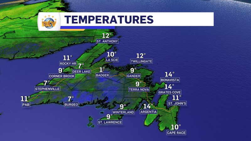
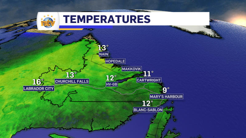
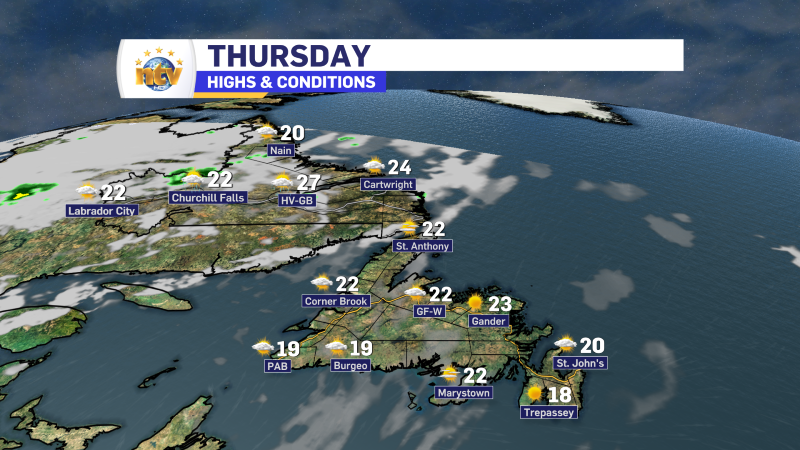
The weather across the Province looks great today! Expect lots of sunshine and comfortable temperatures. Most areas reach the upper teens to middle 20s for afternoon high temperatures. The image below shows that rather well.
Tomorrow looks almost as nice as today across the region. The weather pattern changes a bit Saturday as an area of low pressure moves into Nova Scotia. This low may be a pseudo tropical system, as is currently being watched by the National Hurricane Centre in the US. The low is furthest north area being monitored as is seen on this map off the east coast of the US.
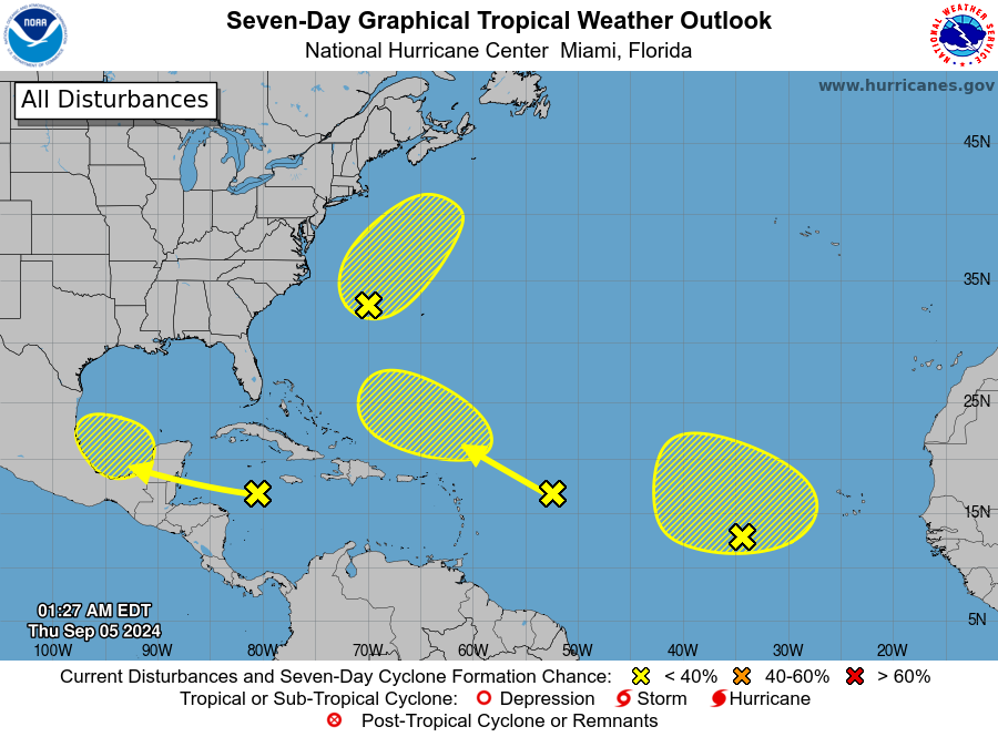
At this point it doesn’t look to be a major storm, but will bring heavy rain, gusty winds and the potential for some coastal flooding with it to NS. Impacts to NL weather look minimal, but ferry crossings to NS could be impacted Saturday night into Sunday.
Stay tuned for updates on this one.


